

HOW TO CHOOSE BETWEEN REACH RX AND REACH RS2+?
Emlid
How to choose between Reach RX and Reach RS2+?
Emlid recently expanded the range of Emlid Reach receivers with two new products, Reach RX and Reach RS2+. Defining all the functions and choosing the tuner that suits the workflow can cause confusion. This article will help you figure out which option is right for your use case.
Determine your workflow
When considering a new receiver, your goals and workflow are key factors that influence your decision.
If you need an easy-to-use rover for RTK (real-time kinematic) surveying in places with internet access, then Reach RX is your right choice. It’s compact and lightweight, so you can take it with you wherever you go.
Reach RX works with any corrective network (NTRIP). Pairing with the ReachView 3 app, it’s suitable for areas with mobile coverage. ReachView 3 uses an internet connection on your phone or tablet to access NTRIP adjustments and send them to Reach RX via Bluetooth. With Reach RX, you can extract accurate data in RTK mode at your project site and can export it for future use in CAD or GIS software. Post-treatment is not required.
Reach RS2+ is a full-fledged receiver suitable for several types of work. Choose Reach RS2+ if you are measuring in areas where there is no internet and by various methods, including RTK, PPK (post-processing kinematics) and PPP (precise point positioning).
If you want a PPK using Reach RS2+, you can record RINEX data for further post-processing. You can also seamlessly use the RINEX data library with OPUS, AUSPOS, and popular PPP services. To measure RTK in a mobile-coated location, use Reach RS2+ with a built-in LTE modem to connect via NTRIP. If you don’t have internet at your metering point, you can take measurements with two Reach RS2+ devices connected via LoRa radio.
Base and rover setup
When choosing the most suitable receiver for your work, you need to understand the difference between the base and rover capabilities.
Reach RS2+ can act as a base that transmits GNSS corrections, and as a rover that receives corrections from another source. This allows you to measure using Reach RS2+ in several scenarios, such as:
2 x Reach RS2+ units as base and rover connected via LoRa,
2 x Reach RS2+ units connected via Emlid NTRIP Caster,
Achieve RS2+ as a base for another receiver or RTK-capable UAV,
Reach RS2+ as a rover connected to a correction network.
Reach RX is a network rover that requires GNSS corrections to achieve accurate positioning in centimeters. To broadcast adjustments to Reach RX, you can apply one of the following scenarios:
Connect Reach RX to any public NTRIP service
Use Reach RS2 or RS2+ as a base and free Emlid Caster as a way to send Reach RX adjustments.
Configuration
Reach RX is designed to simplify data collection, so you don’t have to spend a lot of time setting up the receiver. All you need to get started is to enter the correction network data. In the absence of configuration, there is no possibility of making a mistake in preparing the equipment for work.
Ease of use is also one of the key features of Reach RS2+. This professional fully equipped tuner gives you the ability to choose settings depending on your workflow. If you need additional GNSS settings, such as SNR or relative height masks, you can configure them in the ReachView 3 app.
For more information, visit:
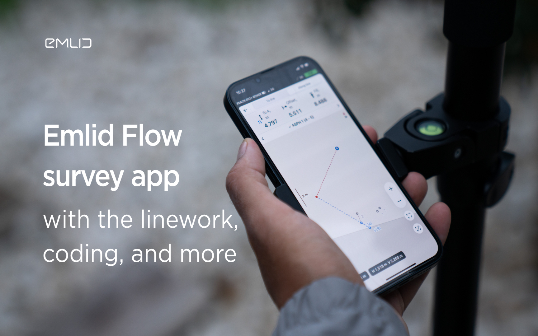
Emlid introduces the Flow app with an interactive interface, coding and more
Emlid introduces new functionality and a new name for the data mining app. Meet Emlid Flow, the updated ReachView 3 app with new professional...

IDS GeoRadar Launches Hi-Sense
IDS GeoRadar, part of Hexagon, announced the new Hi-Sense algorithm for the Guardian, IDS GeoRadar's powerful and user-friendly software for tilt monitoring.

New Reach firmware 30 improves Reach compatibility with other receivers and software
Emlid introduces the Reach Firmware 30 update. This version focuses on the compatibility of Reach receivers with third-party equipment...
FARO acquires SiteScape, the leader in LiDAR-based scanning software
2022. In December, FARO Technologies, a global leader in 4D digital reality solutions, today announced the company's SiteScape...
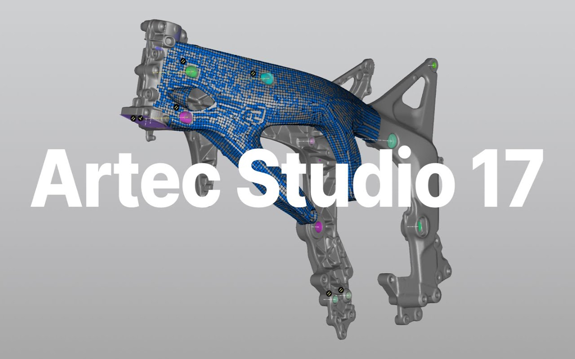
Artec Studio 17.1 is here
The 3D scanning and data processing software platform, which until recently received special improvements, is gaining even more power in its latest version, Artec Studio 17.1

FARO unveils first augmented reality app in Sphere ecosystem for concrete construction
FARO Technologies, a global leader in 4D digital reality solutions, today announced FARO® Flatness Check, the company's first augmented reality app...

Luxembourg Defence Directorate donates Artec 3D scanners to Ukraine to document war crimes
The Luxembourg Defence Directorate has delivered to Ukraine a full package of innovative Artec 3D technologies...

FARO unveils new Focus Core laser scanner
FARO Technologies, a global leader in 4D digital reality solutions, announces the release of the FARO®® Focus Core Laser Scanner.

Artec 3D opens a modern production facility in Luxembourg
Artec 3D, a world-renowned developer and manufacturer of professional 3D hardware and software, has officially opened the latest optoelectronics plant in Luxembourg.

What is reverse engineering?
As opposed to the usual design workflow, in which you "start from nothing" and create a product from the very beginning, in reverse engineering you start...

FARO acquires mobile scanning market leader GeoSLAM
FARO® Technologies, a global leader in 4D digital reality solutions, today announced the UK-based GeoSLAM...
How to order 3Dscan.lv services or purchase equipment and software?
To order survey work, laser scanning or geo-scanning, as well as technical inspection or other surveys at your facilities, call or write to our office