Deformation analysis

One of the most pressing issues that is studied in geomatics is the change in the geometric position of an object in a particular period of time.

3D MODELING

BIM

DEFORMITY ANALYSIS

Reverse engineering

Management systems for airports

Asset Management

Control systems for roads

Application of 3D scanners

DEFORMATION ANALYSIS

Deformation analysis – analysis of visual quality.

Our software works with 3D scanning, KIM and other devices;

Comparison of three-dimensional scanning with CAD models;

Display of product deviations and tolerances;

Correction, optimization of the polygonal model;

Restoration and control of geometry accuracy;

Determination of curvature areas;

laying the surface of NURBS and forming CAD;

Formation of a report to the client on the results of monitoring and analysis.

Measurement of test and reference models at certain stages. On the basis of the main or additionally constructed structures, sections are formed, from which it is possible not only to analyze the deviations, but also to check other parameters of the product.

EXAMPLES OF WORK DONE

EQUIPMENT AND SOFTWARE

3Dscan is the largest “park” of professional technical equipment and software for 3D scanning and geophysical research in the Baltic States. Depending on the task, our team of certified specialists will determine the necessary equipment to achieve the best result.
  • Mobile 3D mapping technology for rapid spatial data acquisition and processing.

    Price on request

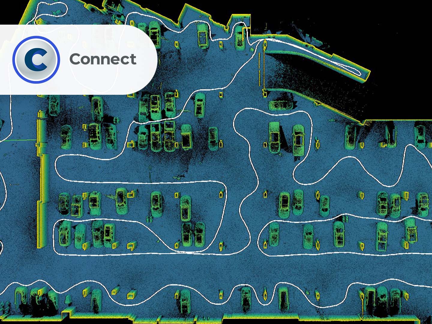
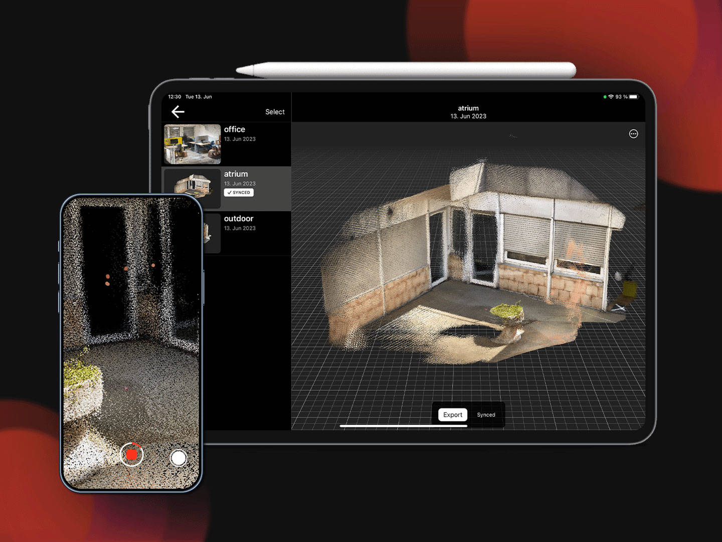
  • LiDAR-enabled 3D scanning app for iOS devices for rapid documentation of existing conditions.

    Price on request

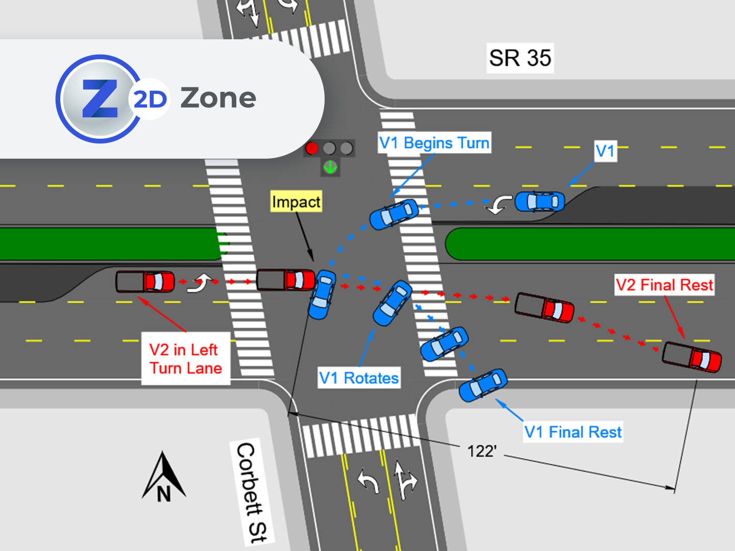
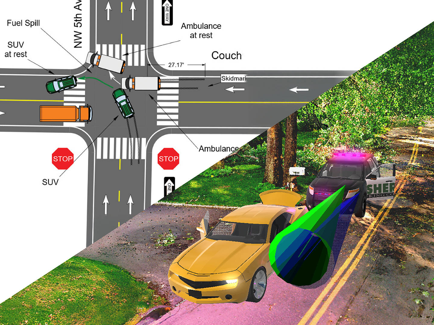
  • Software for the rapid creation of precise 2D diagrams for incident scenes and objects.

    Price on request

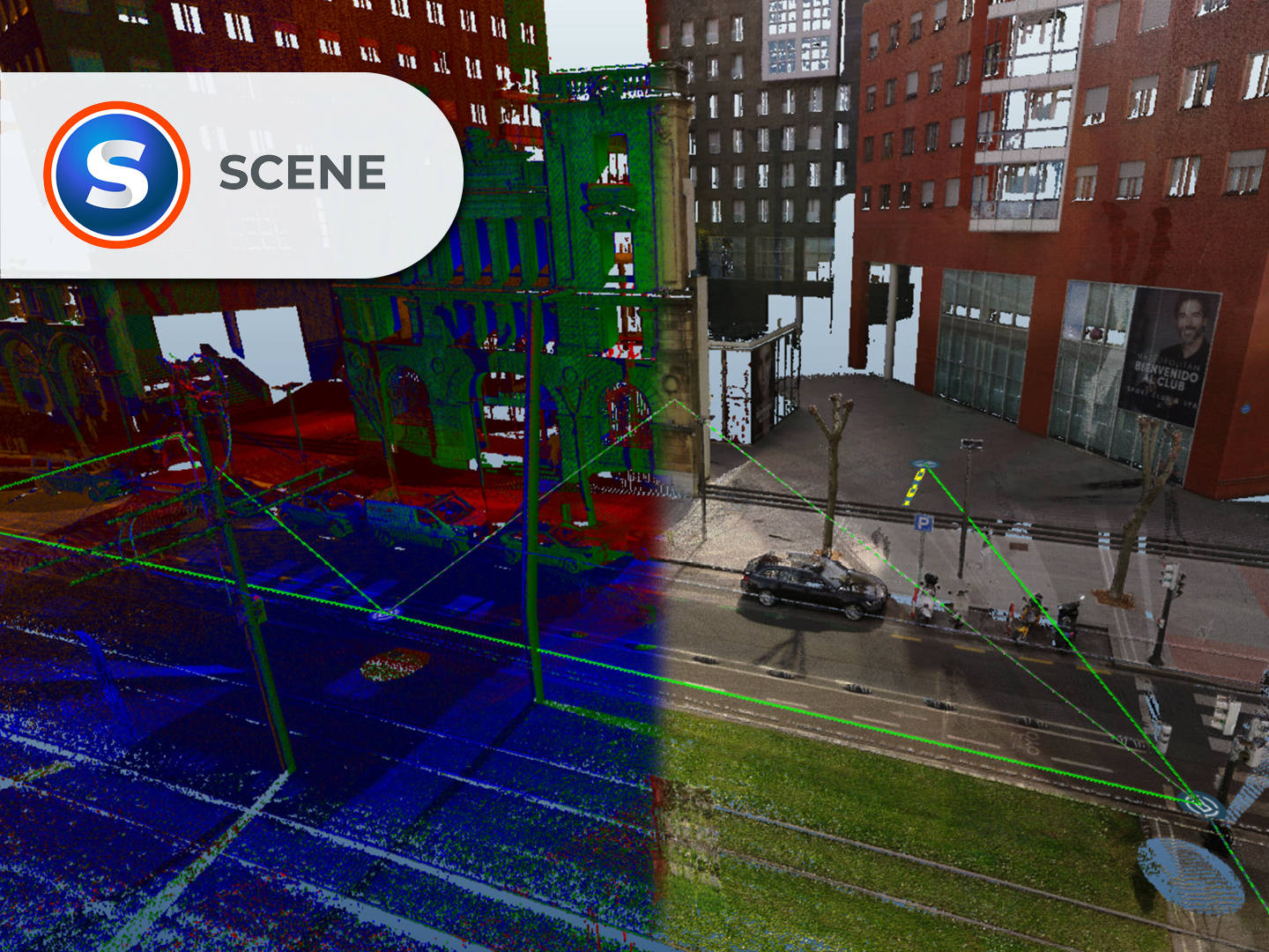
  • Software for 3D scene visualization, analysis, reconstruction, and legal presentation.

    Price on request

  • Target-based 3D laser scanning for superior scan registration accuracy in large spaces and industrial facilities.

    Price on request

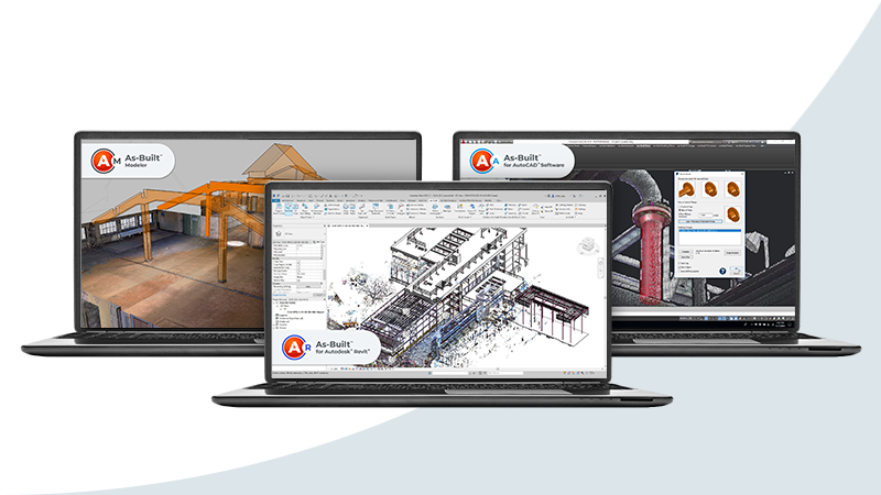
  • Software suite for precise CAD and BIM modeling using 3D as-built data.

    Price on request

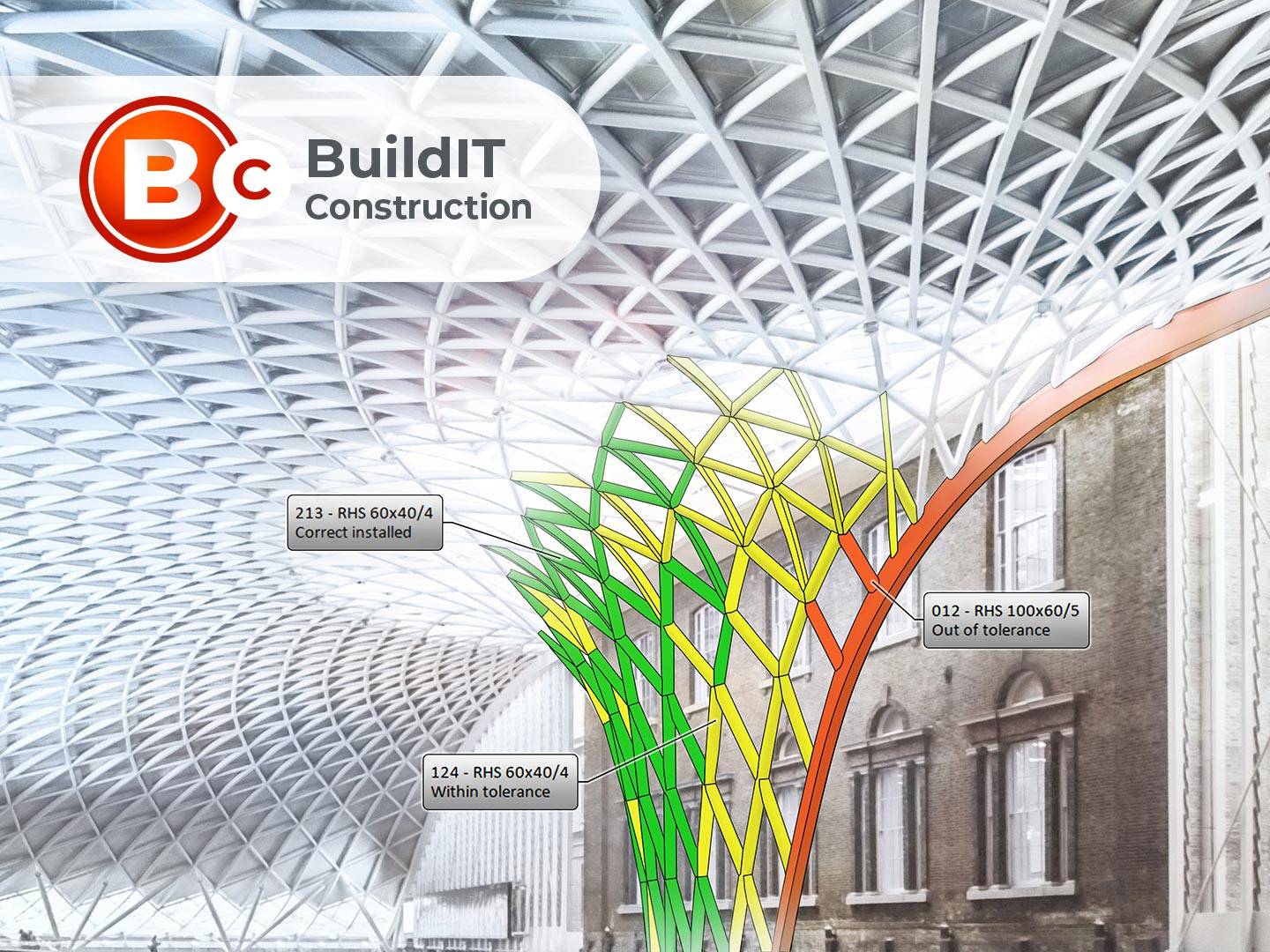
  • Software for continuous construction verification and 3D data comparison with project information.

    Price on request

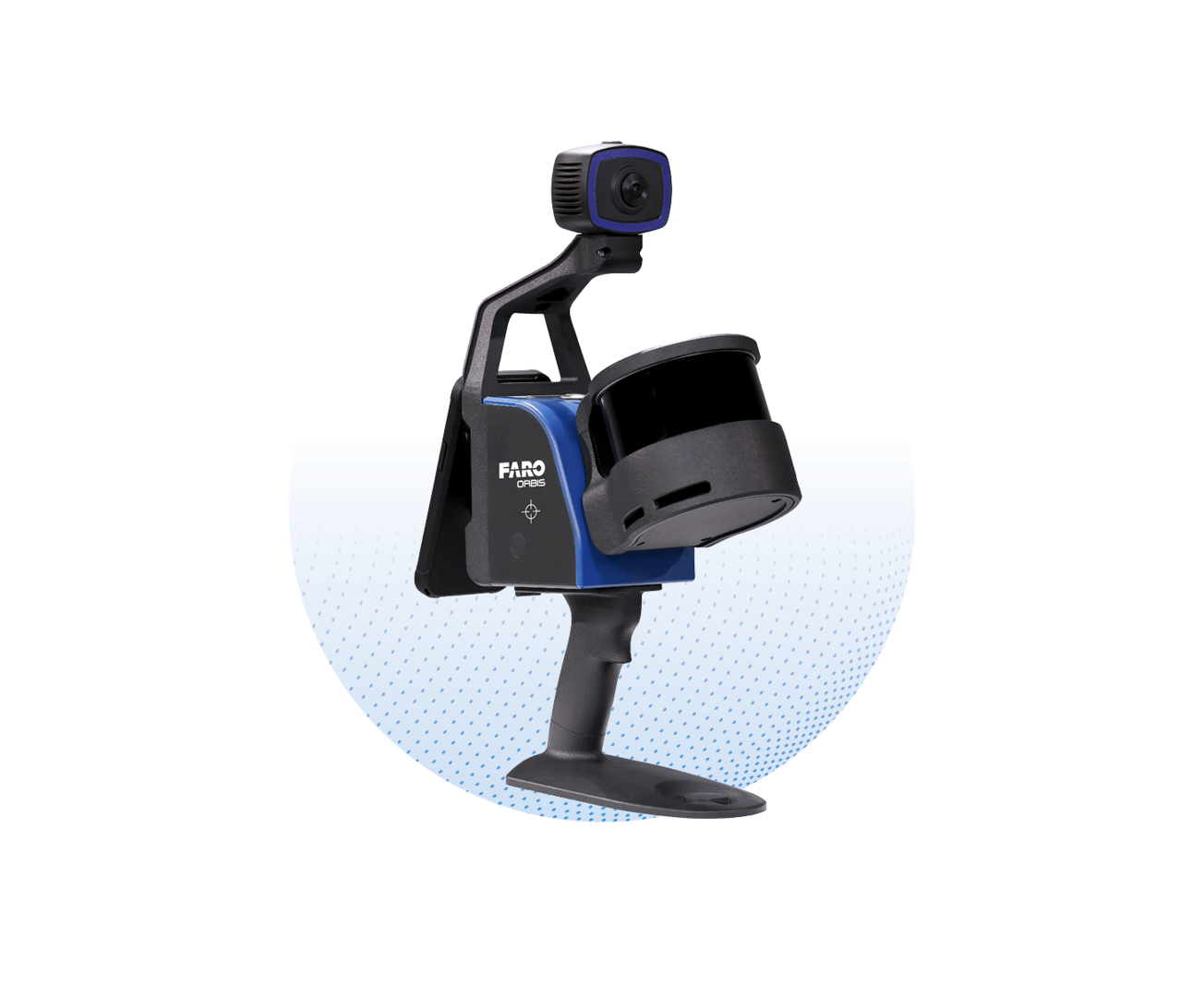
  • LiDAR data processing software for the FARO Orbis mobile laser scanner.

    Price on request

  • Software for 3D point cloud registration, processing, and reliable reality data preparation.

    Price on request

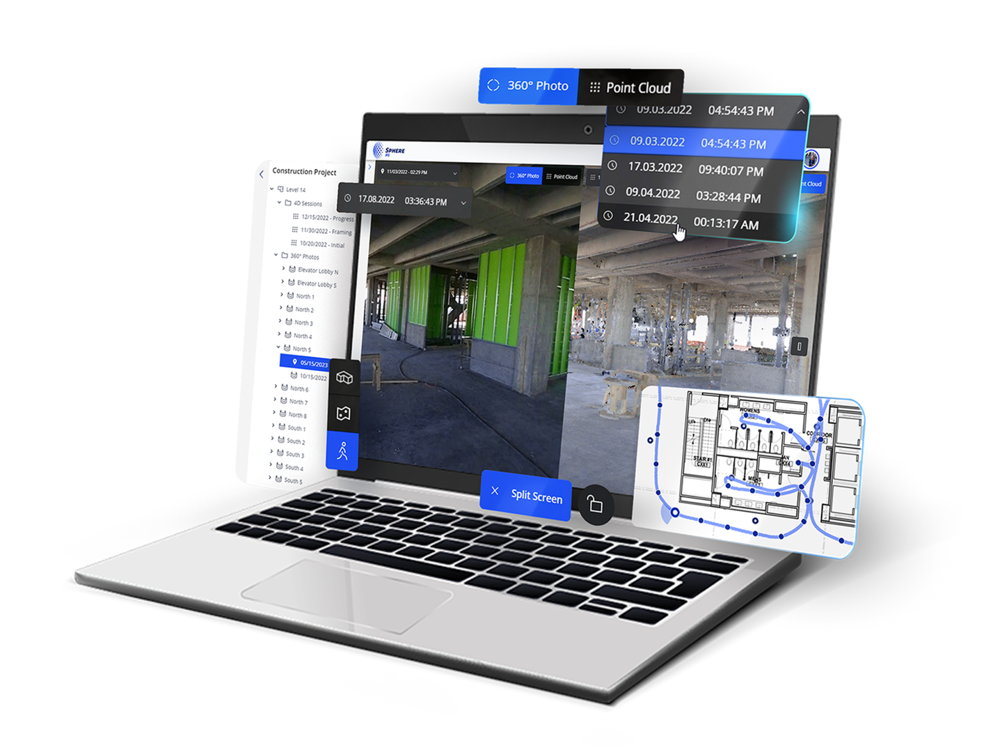
  • Cloud platform for reality data acquisition, processing, management, and team collaboration.

    Price on request

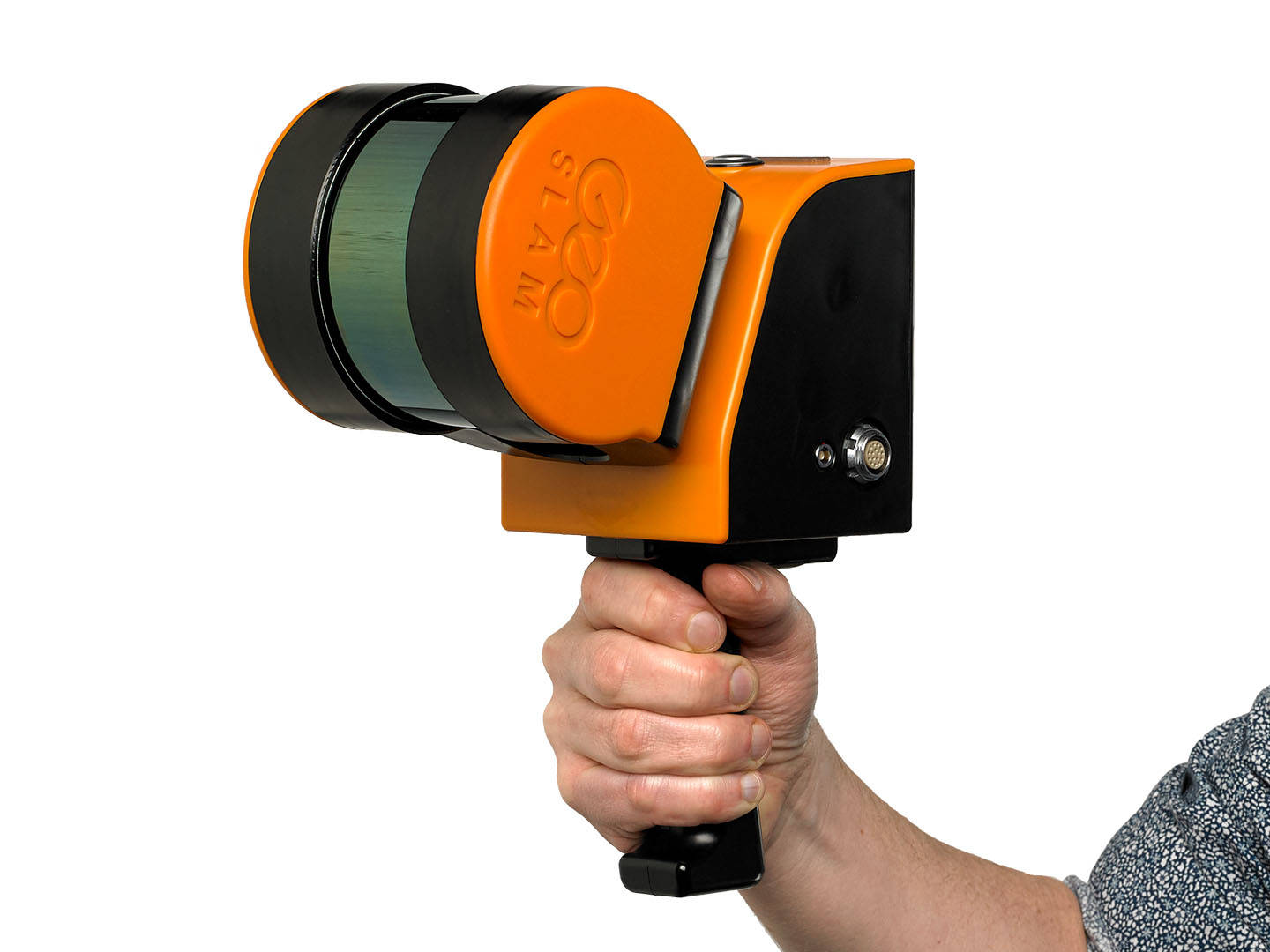
  • Mobile laser scanner for fast 3D site documentation with SLAM and Flash scanning in one device.

    Price on request

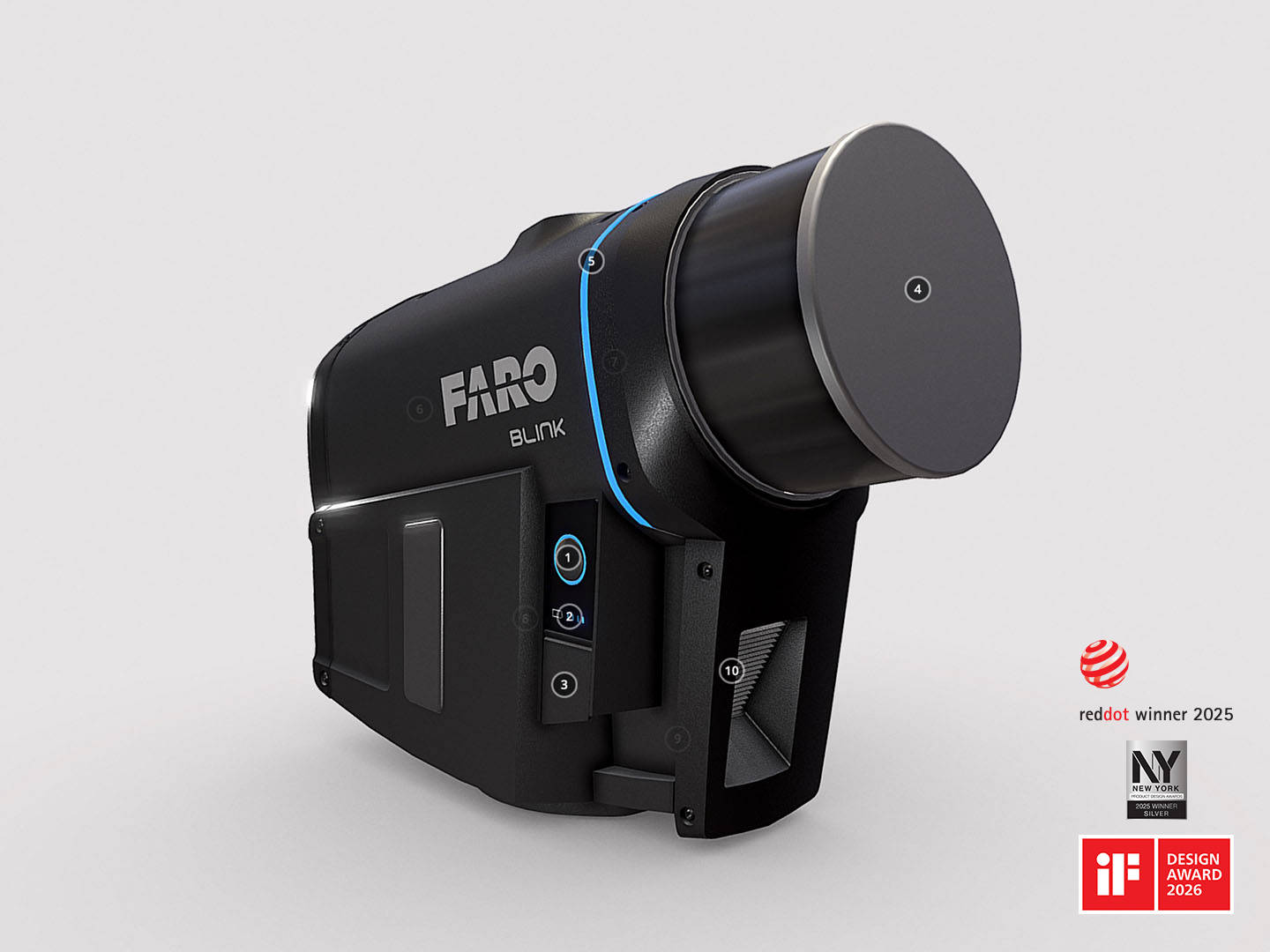
  • An intuitive laser scanner for rapid reality data capture with professional visual quality.

    Price on request

How to order 3Dscan.lv services?

To order surveying, laser scanning, geodetic surveying, technical inspections, or other surveys for your projects, please call our office:

+371 27 86 0000 or send your request to email: info@3dscan.lv.

SV Solutions HEAD OFFICE CONTACTS

UNIJAS STREET 15C, RIGA

UNIJAS STREET 15C, RIGA

Latvia, LV-1039

Latvia, LV-1039

I-V 09:00 – 18:00

I-V 09:00 – 18:00

VI-VII closed

VI-VII closed

Call us

Call us

+371 27 86 0000

+371 27 86 0000

Write to us

Write to us

info@3dscan.lv

info@3dscan.lv