

Identification and monitoring of communications
Questions constantly arise about the need to engage in inspections of city communications. The amount of such work is huge. The high cost of the solutions associated with it is also appropriate. In solving the above issues, specialists can be helped by a georadar.
COMMUNICATIONS IDENTIFICATION AND SURVEY
Currently, the detection and survey of city communications with the help of a georadar is gaining popularity. This is explained by the fact that using a georadar, it is possible to conduct a search for communications in very difficult urban conditions, characterized by a high level of electromagnetic interference, significant saturation and complexity of communications.
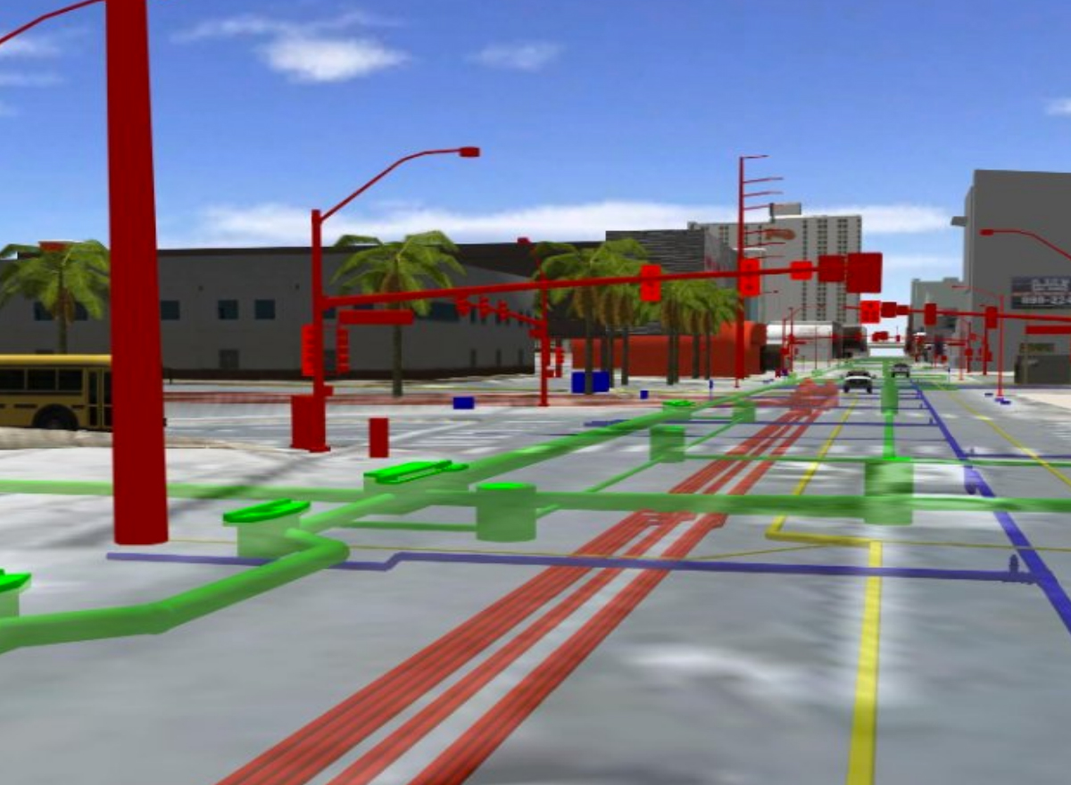
It should also not be forgotten that often the existing communication schemes and plans differ very significantly from reality, but sometimes it happens that they are lost altogether. In this case, it is not recommended to work without conducting a preliminary survey with the help of a georadar, since the georadar helps to avoid inevitable crashes.
First of all, with the help of a georadar, it is possible to obtain all the necessary data to create a real picture of the location of communications. An experienced georadar operator will obtain information about the spatial arrangement and integrity of the communication line.
Secondly, using a georadar, it is possible to indoctrinate hard-to-find communications of plastic, metal, ceramic, concrete and other materials.
If the georadar is used by utilities repair services, then it is used to determine the location and depth of retracted hidden communications (for example, power and signal cables), to study the surrounding poems before carrying out earthworks, as well as to detect places of damage to pipelines.
Using a georadar, it is possible to successfully find the places of leakage of liquids flowing through underground pipelines, places of retraction of pipes and cables, detect damage to cables and lines. If it is necessary to find cable tracks, then with the help of a georadar it is possible to find hidden wiring, which is located both under voltage and without.
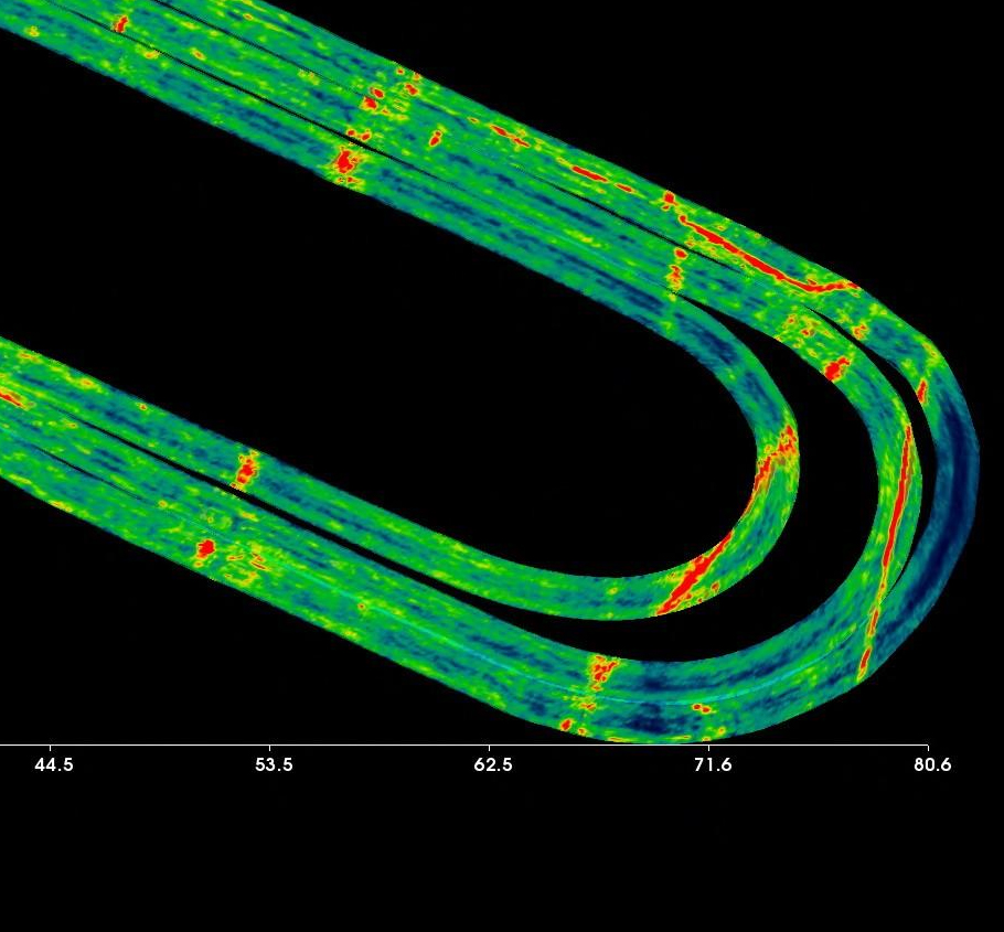
As well as with the help of a georadar it is possible:
 detect metal and non-metallic objects, voids, and even small heterogeneous places;
find out the locations of gas and oil pipelines, as well as unauthorized connections to pipelines;
to determine the condition and location of underground reservoirs and pipelines connected to them;
detect sources of wetting the bottom, water pipe, collector, hidden water leaks;
find plastic, metal pipes and cables, as well as determine the depth;
detect and survey hidden systems, tanks, barrels, voids, filtration fields, etc.;
carry out mapping of hidden communications.
The use of a georadar to solve all the tasks listed above will simplify the technological process, save funds and reduce the time for completing relevant tasks.
EXAMPLES OF WORK DONE


EQUIPMENT AND SOFTWARE
3Dscan is the largest “park” of professional technical equipment and software for 3D scanning and geophysical research in the Baltic States. Depending on the task, our team of certified specialists will determine the necessary equipment to achieve the best result.


How to order 3Dscan.lv services?
To order surveying, laser scanning, geodetic surveying, technical inspections, or other surveys for your projects, please call our office:
+371 27 86 0000 or send your request to email: info@3dscan.lv.