

3D scanning services for urban infrastructure
The development of urban transport infrastructure and environment begins with a comprehensive, objective and up-to-date awareness of the current situation, as a result of which the problems to be solved and future challenges become clear.
3D SCANNING for city infrastructure
This is followed by the selection of appropriate solutions and their targeted and consistent implementation. What can be achieved with the use of a 3D Mobile Scanner.
Benefit
 Location of infrastructure
Their accounting
Planning them
Determination of the position of the driving part control
Organization of movement
Archive 3D data
Visualize
EXAMPLES OF WORK DONE


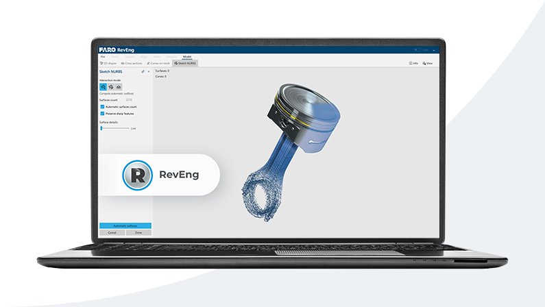
EQUIPMENT AND SOFTWARE
3Dscan is the largest “park” of professional technical equipment and software for 3D scanning and geophysical research in the Baltic States. Depending on the task, our team of certified specialists will determine the necessary equipment to achieve the best result.

How to order 3Dscan.lv services?
To order surveying, laser scanning, geodetic surveying, technical inspections, or other surveys for your projects, please call our office:
+371 27 86 0000 or send your request to email: info@3dscan.lv.