

Surveying cultural monuments with a georadar helps to preserve historical heritage
IDS Georadar
Surveying cultural monuments with a georadar helps to preserve historical heritage
Georadar in archaeology, helps to preserve and document historical evidence in cultural and historical objects.
Georadar is an excellent helper for both restorers and archaeologists in various works and research on cultural and historical objects.
In archaeology, it is already customary to use a georadar at the stage of planning work, which has become an essential part of archaeological work, it also helps to save time on archaeological work and allows you to focus on important and essential things.
In the United Kingdom, the famous Lincoln Cathedral, which has been well known since the Middle Ages, provides some of the most remarkable architectural elements in the British Isles. There are many archaeological relics and historical evidence hidden under the ground, dating back to before the construction and opening of the chapel in 1072. gada.
As the cathedral prepares for renovations to create new canteens and visitor spaces, planners had to ensure that no damage to historical sites was done during the process.
Using the georadar system IDS Hi-Mod and the new IDS Stream C, research work in 3D mode with high resolution was carried out in order to determine possible ancient foundations and identify any archaeological objects after processing this data.
Georadar data were used to support development plans and, most importantly, to reduce the risk of damage to any archaeological evidence, as well as to determine the locations of engineering communications.
More information on these studies is available in English:
https://www.technicsgroup.com/projects/ground-penetrating-radar-works-lincoln-cathedral/
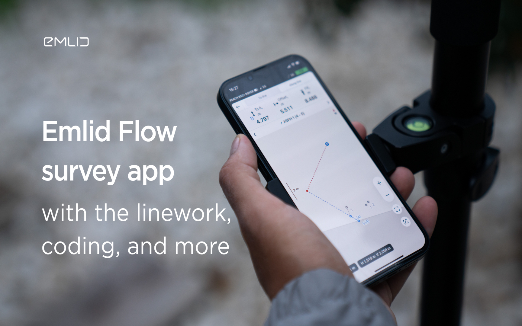
Emlid introduces the Flow app with an interactive interface, coding and more
Emlid introduces new functionality and a new name for the data mining app. Meet Emlid Flow, the updated ReachView 3 app with new professional...

IDS GeoRadar Launches Hi-Sense
IDS GeoRadar, part of Hexagon, announced the new Hi-Sense algorithm for the Guardian, IDS GeoRadar's powerful and user-friendly software for tilt monitoring.

New Reach firmware 30 improves Reach compatibility with other receivers and software
Emlid introduces the Reach Firmware 30 update. This version focuses on the compatibility of Reach receivers with third-party equipment...
FARO acquires SiteScape, the leader in LiDAR-based scanning software
2022. In December, FARO Technologies, a global leader in 4D digital reality solutions, today announced the company's SiteScape...
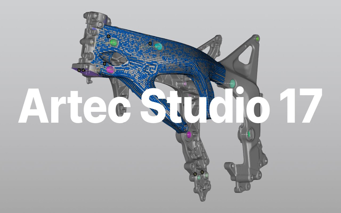
Artec Studio 17.1 is here
The 3D scanning and data processing software platform, which until recently received special improvements, is gaining even more power in its latest version, Artec Studio 17.1

FARO unveils first augmented reality app in Sphere ecosystem for concrete construction
FARO Technologies, a global leader in 4D digital reality solutions, today announced FARO® Flatness Check, the company's first augmented reality app...
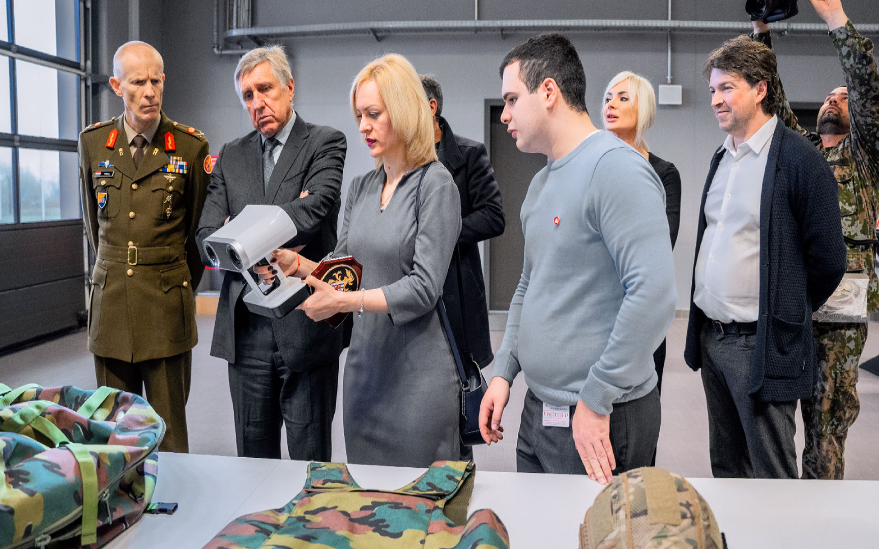
Luxembourg Defence Directorate donates Artec 3D scanners to Ukraine to document war crimes
The Luxembourg Defence Directorate has delivered to Ukraine a full package of innovative Artec 3D technologies...

FARO unveils new Focus Core laser scanner
FARO Technologies, a global leader in 4D digital reality solutions, announces the release of the FARO®® Focus Core Laser Scanner.

Artec 3D opens a modern production facility in Luxembourg
Artec 3D, a world-renowned developer and manufacturer of professional 3D hardware and software, has officially opened the latest optoelectronics plant in Luxembourg.

What is reverse engineering?
As opposed to the usual design workflow, in which you "start from nothing" and create a product from the very beginning, in reverse engineering you start...

FARO acquires mobile scanning market leader GeoSLAM
FARO® Technologies, a global leader in 4D digital reality solutions, today announced the UK-based GeoSLAM...
How to order 3Dscan.lv services or purchase equipment and software?
To order survey work, laser scanning or geo-scanning, as well as technical inspection or other surveys at your facilities, call or write to our office