
Surveying cultural monuments with a georadar helps to preserve historical heritage
IDS Georadar
Surveying cultural monuments with a georadar helps to preserve historical heritage
Georadar in archaeology, helps to preserve and document historical evidence in cultural and historical objects.
Georadar is an excellent helper for both restorers and archaeologists in various works and research on cultural and historical objects.
In archaeology, it is already customary to use a georadar at the stage of planning work, which has become an essential part of archaeological work, it also helps to save time on archaeological work and allows you to focus on important and essential things.
In the United Kingdom, the famous Lincoln Cathedral, which has been well known since the Middle Ages, provides some of the most remarkable architectural elements in the British Isles. There are many archaeological relics and historical evidence hidden under the ground, dating back to before the construction and opening of the chapel in 1072. gada.
As the cathedral prepares for renovations to create new canteens and visitor spaces, planners had to ensure that no damage to historical sites was done during the process.
Using the georadar system IDS Hi-Mod and the new IDS Stream C, research work in 3D mode with high resolution was carried out in order to determine possible ancient foundations and identify any archaeological objects after processing this data.
Georadar data were used to support development plans and, most importantly, to reduce the risk of damage to any archaeological evidence, as well as to determine the locations of engineering communications.
More information on these studies is available in English:
https://www.technicsgroup.com/projects/ground-penetrating-radar-works-lincoln-cathedral/

IDS GeoRadar Unveils New C-thrue XS Georadar
The C-thrue XS is a compact hand-sized GPR (georadar) with double polarization so you don't miss a single detail every scan.

3D scanning in the aviation industry
How does 3D scanning improve the aviation industry? It captures millions of data points to model and test complex parts such as turbines and engines.

3D scanning of auto parts
3D scanning can be great for building your project car, changing parts, or making upgrades.

Car restoration using FARO 3D solutions
With Quantum Max, it's fantastic to be able to design a part and be sure that it will fit into the existing hull without relying on guesswork

123 years of digitizing classic Renault cars in 3D with Artec Leo & Ray
Artec Ray and Artec Leo's incredible collaboration on 3D digitization of exclusive Renault cars.

New Artec Studio 18: Faster, AI-powered, color 3D scanning program certified for metrology
The industry's first mix of different resolutions to create unique, feature-rich models and advanced AI for sharp, unmatched realistic textures.

FARO unveils new solution for much faster scanning
FARO Technologies, a global leader in 4D digital reality solutions, announces the release of Hybrid Reality Capture™ powered by Flash™...

IDS GeoRadar announces the release of Stream DP radar
IDS GeoRadar, part of Hexagon, announced Stream DP, an upgrade for 3D mapping that uses multichannel ground throughput radar (GPR).
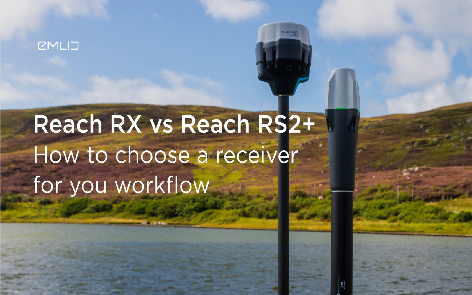
How to choose between Reach RX and Reach RS2+?
Emlid recently expanded the range of Emlid Reach receivers with two new products, Reach RX and Reach RS2+. Defining all the features...

IDS GeoRadar releases new RockSpot software update
IDS GeoRadar, part of Hexagon, announced a new software update for RockSpot, IDS GeoRadar's innovative radar system capable of...

All-new Emlid Reach RX: pocket-sized RTK rover
Emlid launches a new product, the Emlid Reach RX network rover. This is a high-performance, multi-band RTK rover that focuses on simplicity.
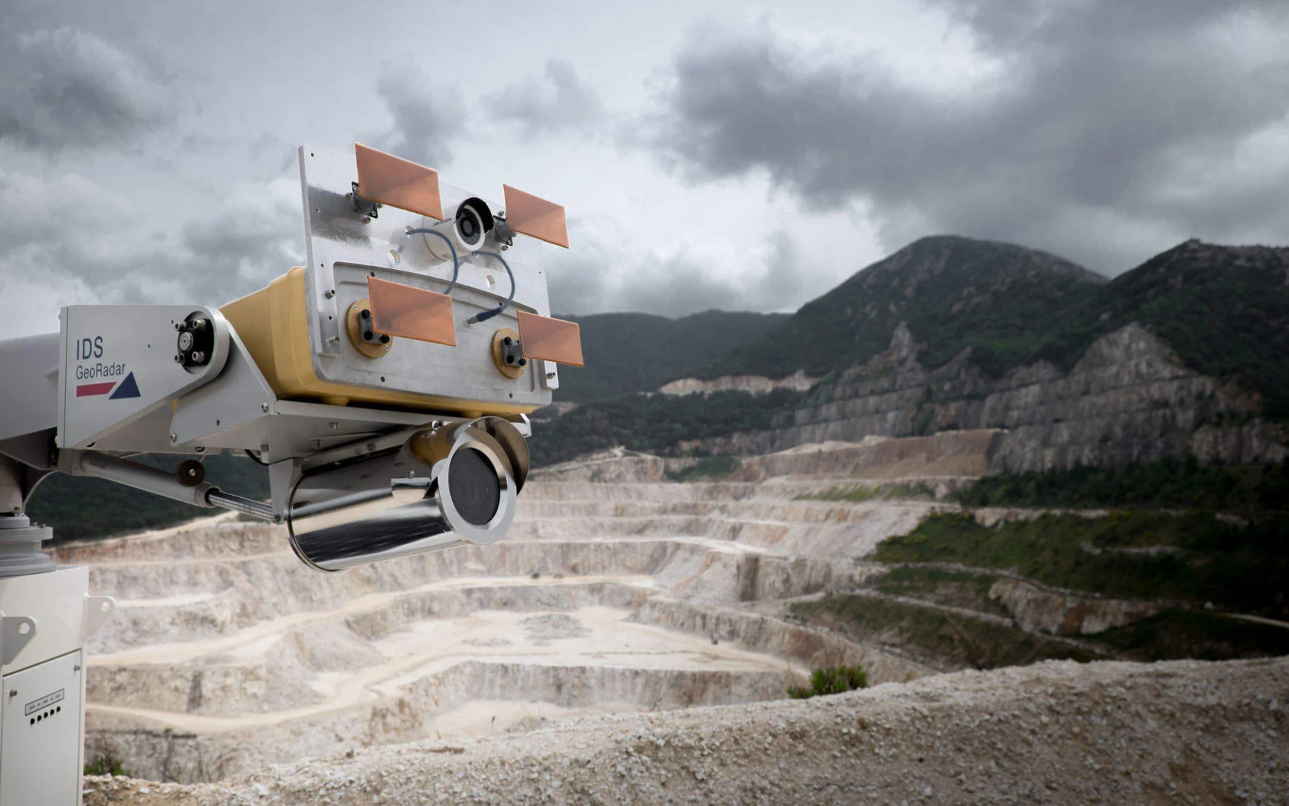
IDS GeoRadar Announces New IBIS-FM EVO C
IDS GeoRadar, part of Hexagon, announced the release of the interferometric radar IBIS-FM EVO C for monitoring long-range structures and slopes...
How to order 3Dscan.lv services or purchase equipment and software?
To order survey work, laser scanning or geo-scanning, as well as technical inspection or other surveys at your facilities, call or write to our office