

IDS GEORADAR RELEASES NEW ROCKSPOT SOFTWARE UPDATE
IDS Georadar
IDS GeoRadar releases new RockSpot software update
2023. In February, IDS GeoRadar, part of Hexagon, announced a new software update for RockSpot, IDS GeoRadar’s innovative radar system capable of detecting, tracking and reporting rockslides.
RockSpot’s latest software update expands data analytics performance with new tools that support effective landslide risk zoning, TARP fine-tuning, and back-to-back analysis to reduce operational and geotechnical risks. Several new statistical tools allow users to manipulate the event database and create custom charts based on specific areas and items, such as event frequency, duration/area extension, speed, and rock fall distance, for comprehensive analysis, model calibration, justification for landslide control integrity and design changes.
Rockslides are a great safety hazard in open quarries. The possibility of a sudden landslide makes it difficult to use traditional monitoring methods to provide adequate advance warning and comprehensive analysis, thus creating a challenge for mine operators and planners. RockSpot is the industry’s first comprehensive solution capable of activating real-time notification of rockslides and maximizing risk management by providing a database of explored landslides for in-depth analysis and automatic classification of such events.
This compact and powerful radar detects falling stones in near real time, and the brigades in question receive instant notification of action, as well as instant access to all event information that is tracked, stored and classified in a landslide database. RockSpot provides 24/7 round-the-clock continuous monitoring to actively support synchronised risk management with real-time notifications and improves risk mitigation and planning operations with a number of statistical tools, as well as to analyze the data collected and reduce costs in recovery efforts.
For more information, visit:
https://idsgeoradar.com/products/interferometric-radar/rockspot
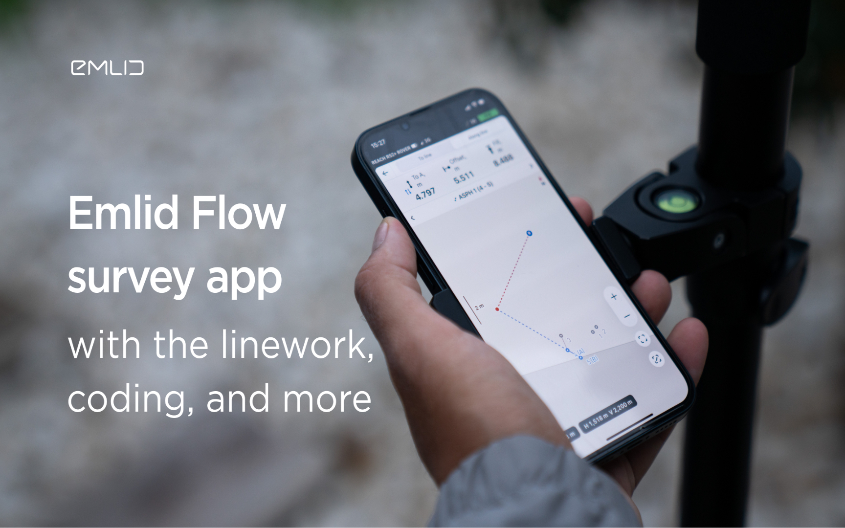
Emlid introduces the Flow app with an interactive interface, coding and more
Emlid introduces new functionality and a new name for the data mining app. Meet Emlid Flow, the updated ReachView 3 app with new professional...

IDS GeoRadar Launches Hi-Sense
IDS GeoRadar, part of Hexagon, announced the new Hi-Sense algorithm for the Guardian, IDS GeoRadar's powerful and user-friendly software for tilt monitoring.

New Reach firmware 30 improves Reach compatibility with other receivers and software
Emlid introduces the Reach Firmware 30 update. This version focuses on the compatibility of Reach receivers with third-party equipment...
FARO acquires SiteScape, the leader in LiDAR-based scanning software
2022. In December, FARO Technologies, a global leader in 4D digital reality solutions, today announced the company's SiteScape...
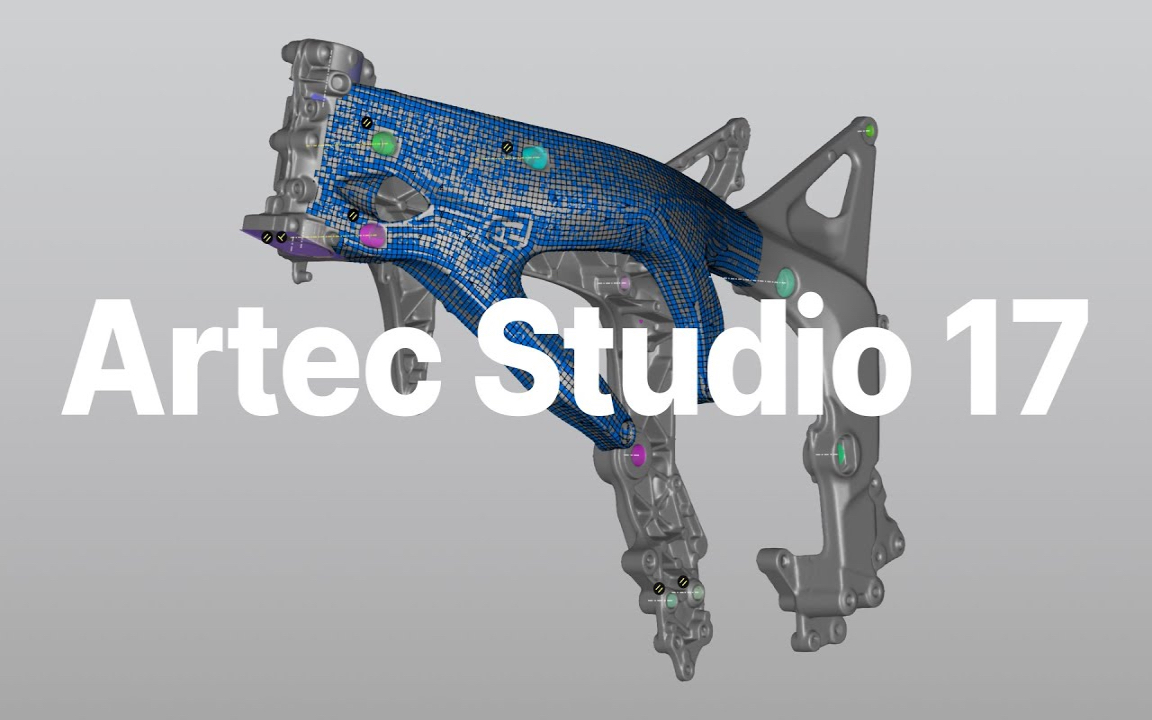
Artec Studio 17.1 is here
The 3D scanning and data processing software platform, which until recently received special improvements, is gaining even more power in its latest version, Artec Studio 17.1

FARO unveils first augmented reality app in Sphere ecosystem for concrete construction
FARO Technologies, a global leader in 4D digital reality solutions, today announced FARO® Flatness Check, the company's first augmented reality app...

Luxembourg Defence Directorate donates Artec 3D scanners to Ukraine to document war crimes
The Luxembourg Defence Directorate has delivered to Ukraine a full package of innovative Artec 3D technologies...

FARO unveils new Focus Core laser scanner
FARO Technologies, a global leader in 4D digital reality solutions, announces the release of the FARO®® Focus Core Laser Scanner.

Artec 3D opens a modern production facility in Luxembourg
Artec 3D, a world-renowned developer and manufacturer of professional 3D hardware and software, has officially opened the latest optoelectronics plant in Luxembourg.

What is reverse engineering?
As opposed to the usual design workflow, in which you "start from nothing" and create a product from the very beginning, in reverse engineering you start...

FARO acquires mobile scanning market leader GeoSLAM
FARO® Technologies, a global leader in 4D digital reality solutions, today announced the UK-based GeoSLAM...
How to order 3Dscan.lv services or purchase equipment and software?
To order survey work, laser scanning or geo-scanning, as well as technical inspection or other surveys at your facilities, call or write to our office