

IDS GEORADAR ANNOUNCES THE RELEASE OF STREAM DP RADAR
IDS Georadar
IDS GeoRadar announces the release of Stream DP radar
2022. In July, IDS GeoRadar, part of Hexagon, announced Stream DP, an upgrade for 3D mapping that uses multichannel ground permeability radar (GPR). Stream DP with its proprietary EsT technology provides efficient and secure performance in the detection and mapping of underground objects. EsT smoothes shallow and deep reflections with multi-gain reinforcement that provides extended dynamic range. Thus, Stream DP transcends the typical GPR limits, offering unmatched performance with the deepest reception capability ever.
“Pulse-per-second” integration in the Stream DP antenna supports precise synchronization with GPS, providing users with the most accurate positioning data, which is very important for data compatibility. Stream DP onboard software facilitates data compatibility as it can aggregate the data collected by different positioning solutions into a single project to ensure complete underground coverage. The system is integrated with the latest software solutions for data collection and post-processing: uMap, on-field software for simple radar data collection that provides real-time diagnostic status, and IQMaps, post-processing software for faster and smarter data analysis.
Stream DP is designed for exceptional productivity and ease of use, offering a lightweight design for maximum mobility, fast-swap batteries for continuous performance, and a variety of non-environmental hardware configurations (rugged and asphalt) for unmatched versatility.
“Stream DP with EsT technology can achieve a deeper goal and offer exceptional underground clarity,” says Davide Paskulli, GPR system engineer at IDS GeoRadar. “Professionals will be supported in their work by an innovative and highly maneuverable GPR solution that allows for safer underground exploration.”
For more information, visit:
https://idsgeoradar.com/products/ground-penetrating-radar/stream-dp
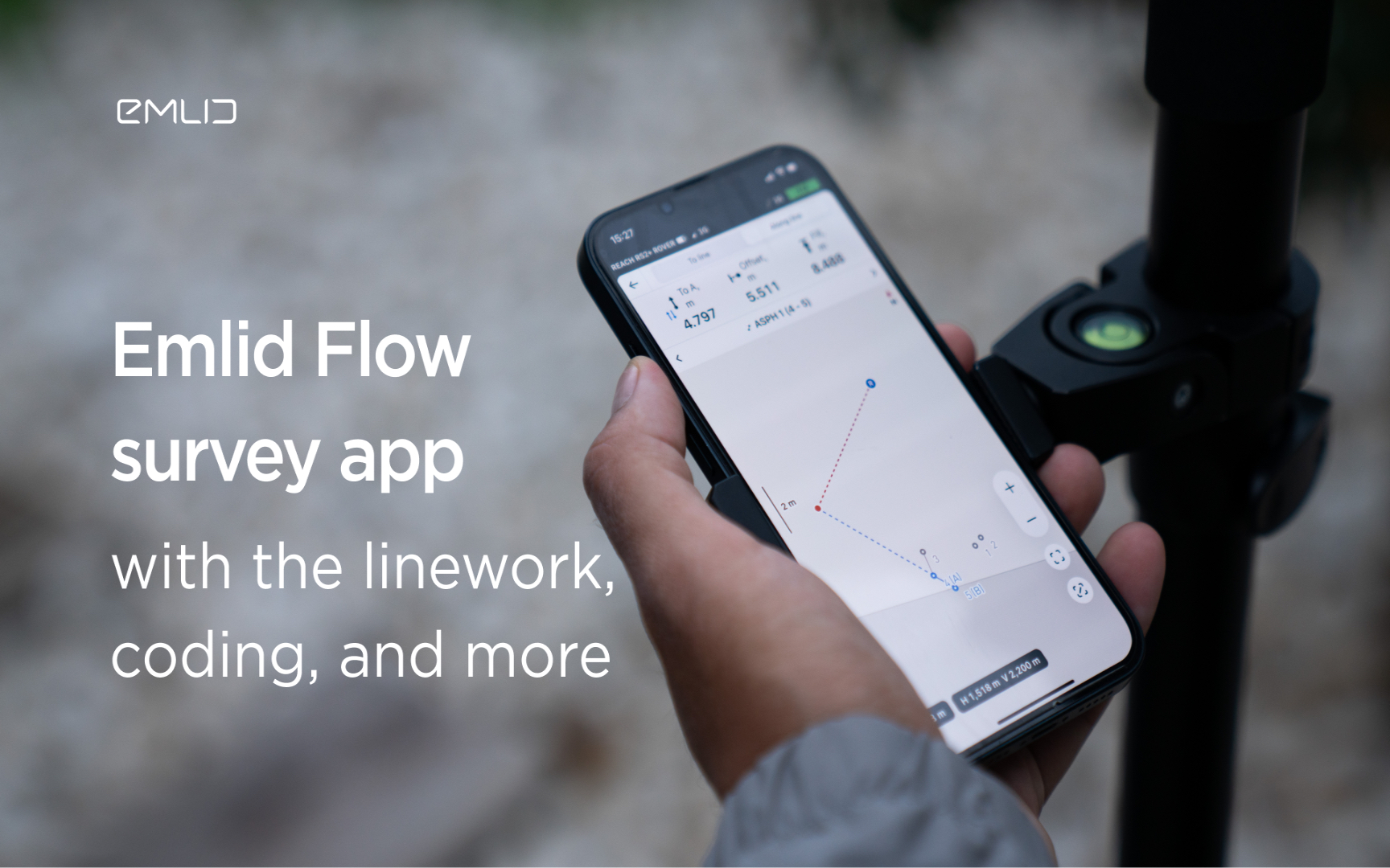
Emlid introduces the Flow app with an interactive interface, coding and more
Emlid introduces new functionality and a new name for the data mining app. Meet Emlid Flow, the updated ReachView 3 app with new professional...

IDS GeoRadar Launches Hi-Sense
IDS GeoRadar, part of Hexagon, announced the new Hi-Sense algorithm for the Guardian, IDS GeoRadar's powerful and user-friendly software for tilt monitoring.

New Reach firmware 30 improves Reach compatibility with other receivers and software
Emlid introduces the Reach Firmware 30 update. This version focuses on the compatibility of Reach receivers with third-party equipment...
FARO acquires SiteScape, the leader in LiDAR-based scanning software
2022. In December, FARO Technologies, a global leader in 4D digital reality solutions, today announced the company's SiteScape...
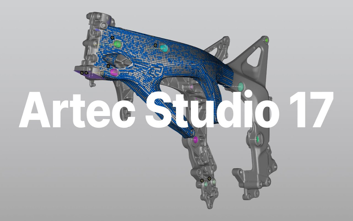
Artec Studio 17.1 is here
The 3D scanning and data processing software platform, which until recently received special improvements, is gaining even more power in its latest version, Artec Studio 17.1

FARO unveils first augmented reality app in Sphere ecosystem for concrete construction
FARO Technologies, a global leader in 4D digital reality solutions, today announced FARO® Flatness Check, the company's first augmented reality app...

Luxembourg Defence Directorate donates Artec 3D scanners to Ukraine to document war crimes
The Luxembourg Defence Directorate has delivered to Ukraine a full package of innovative Artec 3D technologies...

FARO unveils new Focus Core laser scanner
FARO Technologies, a global leader in 4D digital reality solutions, announces the release of the FARO®® Focus Core Laser Scanner.

Artec 3D opens a modern production facility in Luxembourg
Artec 3D, a world-renowned developer and manufacturer of professional 3D hardware and software, has officially opened the latest optoelectronics plant in Luxembourg.

What is reverse engineering?
As opposed to the usual design workflow, in which you "start from nothing" and create a product from the very beginning, in reverse engineering you start...

FARO acquires mobile scanning market leader GeoSLAM
FARO® Technologies, a global leader in 4D digital reality solutions, today announced the UK-based GeoSLAM...
How to order 3Dscan.lv services or purchase equipment and software?
To order survey work, laser scanning or geo-scanning, as well as technical inspection or other surveys at your facilities, call or write to our office