

Revolutionary 3D scanning – FARO Orbis mobile scanner.
FARO
Revolutionary 3D scanning – FARO Orbis mobile scanner.
The first hybrid scanner on the market offers mobile and stationary scanning on one device.
Mobile and stationary technologies on one device thanks to Hybrid Reality Capture provided by GeoSLAM and Flash Technology
An innovation-driven breakthrough is designed to transform industries and redefine how companies approach 3D data capture. Concurrent localization and mapping (SLAM)-enabled technology has spent more than a decade transitioning to the way we collect spatial data and understand the world around us from construction, data mining, to facility management and beyond. Now FARO marks the latest development of the mobile scanner with the release of FARO Orbis, powered by GeoSLAM’s proprietary SLAM algorithm.
In an ever-changing world of scanning technologies, two different methods have emerged as constant methods of data acquisition – mobile and stationary scanning. Although historically the user chose between the two, they have the same goal: to push industries into a new era of accuracy and efficiency. One with very accurate data output, and the other with incomparable reception speeds.
Stationary scanning: creating an accurate representation of the real world
The fixed position, or stationary method of obtaining data, has undeniably been the surveyor’s best friend when it comes to real-world scanning. Under 1 mm, accuracy and purely digital representations revolutionized mapping
Unlike stationary solutions, mobile scanners have the opposite problem, since it performs work at a speed 10 times higher than a conventional surface laser scanner. Today, mobile scanning solutions offer up to 5mm relative accuracy, which most consider a tolerance for most surveying jobs.
FARO Orbis is designed to have all the functions of a mobile scanner with stationary scanning capabilities. Orbis, powered by Flash Technology, provides highly accurate data extraction at the user’s walking speed. Adding higher accuracy to a mobile scanning solution makes your measurement toolkit more reasonable.
More information can be found at: https://www.faro.com/en/Resource-Library/Article/Introducing-the-FARO-Orbis-Mobile-LiDAR-Scanner
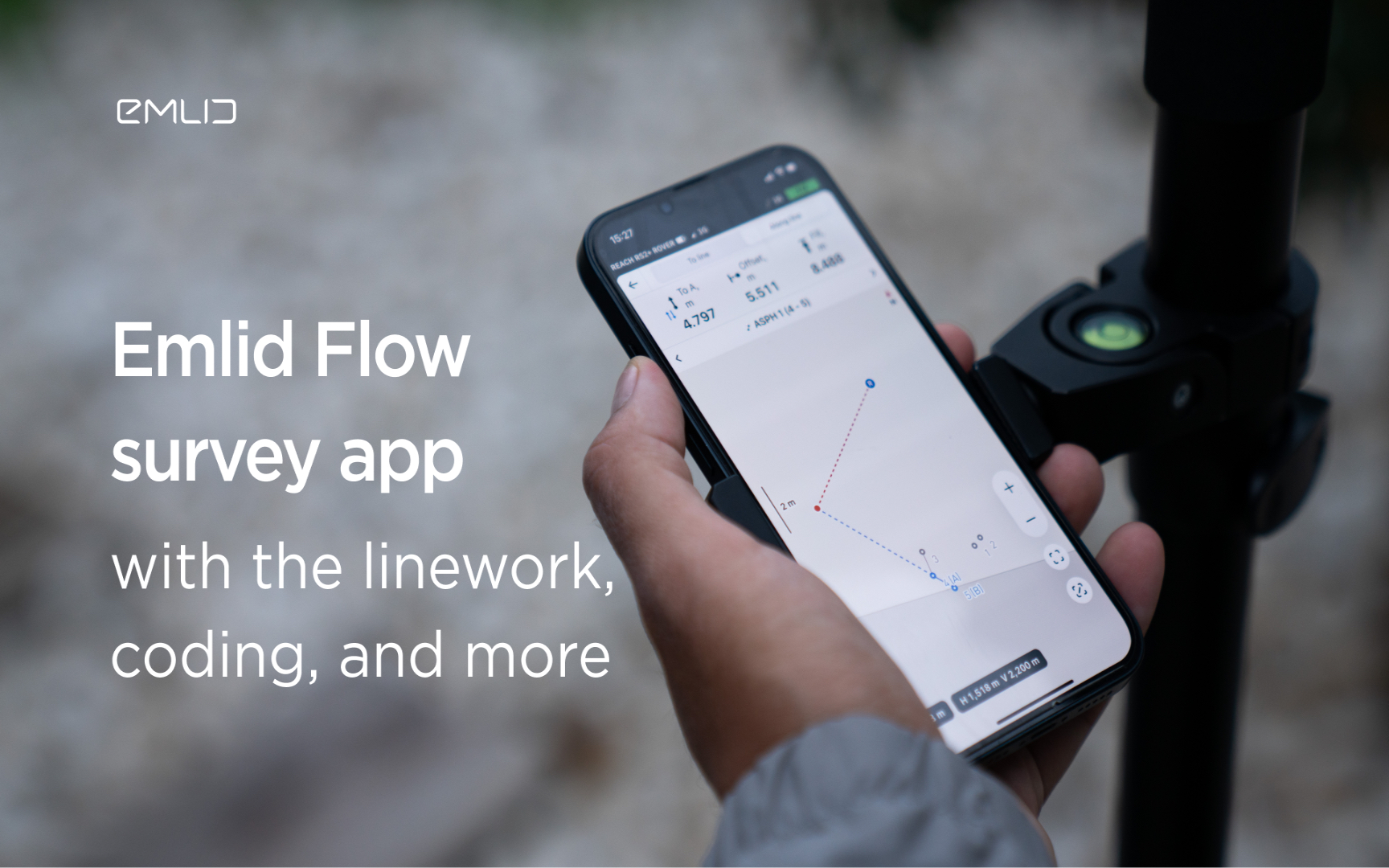
Emlid introduces the Flow app with an interactive interface, coding and more
Emlid introduces new functionality and a new name for the data mining app. Meet Emlid Flow, the updated ReachView 3 app with new professional...

IDS GeoRadar Launches Hi-Sense
IDS GeoRadar, part of Hexagon, announced the new Hi-Sense algorithm for the Guardian, IDS GeoRadar's powerful and user-friendly software for tilt monitoring.

New Reach firmware 30 improves Reach compatibility with other receivers and software
Emlid introduces the Reach Firmware 30 update. This version focuses on the compatibility of Reach receivers with third-party equipment...
FARO acquires SiteScape, the leader in LiDAR-based scanning software
2022. In December, FARO Technologies, a global leader in 4D digital reality solutions, today announced the company's SiteScape...
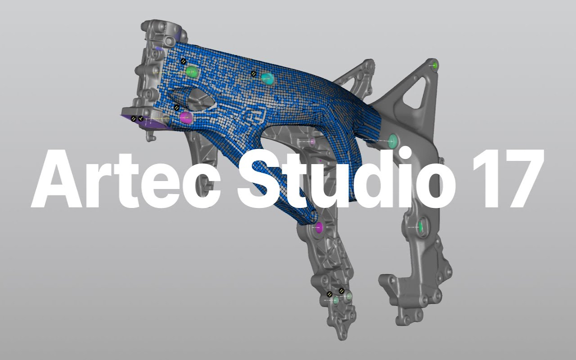
Artec Studio 17.1 is here
The 3D scanning and data processing software platform, which until recently received special improvements, is gaining even more power in its latest version, Artec Studio 17.1

FARO unveils first augmented reality app in Sphere ecosystem for concrete construction
FARO Technologies, a global leader in 4D digital reality solutions, today announced FARO® Flatness Check, the company's first augmented reality app...
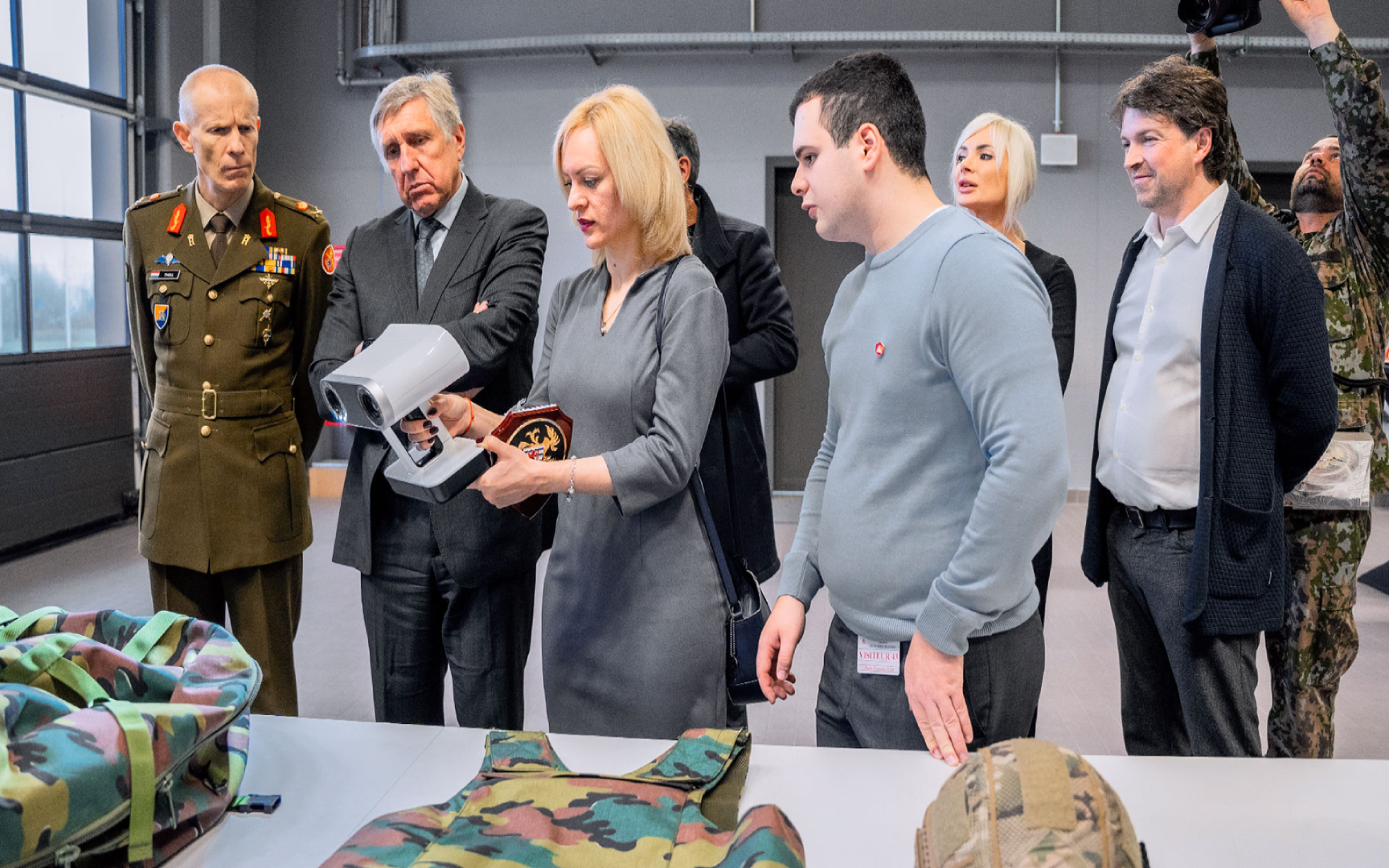
Luxembourg Defence Directorate donates Artec 3D scanners to Ukraine to document war crimes
The Luxembourg Defence Directorate has delivered to Ukraine a full package of innovative Artec 3D technologies...

FARO unveils new Focus Core laser scanner
FARO Technologies, a global leader in 4D digital reality solutions, announces the release of the FARO®® Focus Core Laser Scanner.

Artec 3D opens a modern production facility in Luxembourg
Artec 3D, a world-renowned developer and manufacturer of professional 3D hardware and software, has officially opened the latest optoelectronics plant in Luxembourg.

What is reverse engineering?
As opposed to the usual design workflow, in which you "start from nothing" and create a product from the very beginning, in reverse engineering you start...

FARO acquires mobile scanning market leader GeoSLAM
FARO® Technologies, a global leader in 4D digital reality solutions, today announced the UK-based GeoSLAM...
How to order 3Dscan.lv services or purchase equipment and software?
To order survey work, laser scanning or geo-scanning, as well as technical inspection or other surveys at your facilities, call or write to our office