

FARO UNVEILS FIRST AUGMENTED REALITY APP IN SPHERE ECOSYSTEM FOR CONCRETE CONSTRUCTION
FARO
FARO unveils first augmented reality app in Sphere ecosystem for concrete construction
2022. In September, FARO Technologies, a global leader in 4D digital reality solutions, today announced the launch of FARO® Flatness Check, the company’s first augmented reality app for the concrete industry. This solution will allow you to immediately visualize the flatness of the floors and the flatness of the floors, ensuring that the pouring of concrete proceeds on schedule, improving the quality of work and eliminating the expensive redevelopment work inherent in the construction of multi-storey residential buildings and offices.
Flatness Check is integrated with FARO Sphere, enterprise cloud files and SaaS, and is compatible with several generations of laser scanners, including the new FARO Focus Premium Laser Scanner. With iPad, users can document and analyze the flatness of any concrete slab floor and floor flatness and share this data with others. The application also allows masters who conduct inspections to identify areas that do not meet the tolerances in a matter of minutes and eliminate these deviations while the concrete is still wet. This near-real-time option will ultimately reduce costs for entrepreneurs and other stakeholders, as improved quality means less recycling. With Flatness Check, schedules are followed and other work can continue in a timely and efficient manner.
“Together with key customers acting as industry experts, FARO has created a unique quality control workflow for the concrete industry with tremendous potential to reduce recycling and costs,” said Alister Wells, director of product management. “Flatness Check is the first system of its kind to be embedded in the FARO Sphere ecosystem and marks the beginning of what will be the introduction of additional construction quality control solutions. ” By helping the concrete industry eliminate material wastage, reduce material consumption and speed up on-site time, FARO is taking an important step in its ongoing corporate sustainability efforts to reduce carbon emissions and provide greener, cleaner communities wherever FARO products are used.”
Flatness Check is most distinguished by its intuitive design and excellent user interface. This allows you to maximize the use of scanning data directly in the app’s analysis algorithms and generate augmented reality heat maps of the concrete slab. The different colors correspond to a specific floor flatness and deviations in the floor level. And all these details are easily viewed on the standard iPad. The app is fully Sphere compatible and can activate scanning processing and registration by analyzing all data collected from Focus Premium, M70, S70, S150 and S350 laser scanners.
“The ability to scan, analyze, and view floor analysis in the workplace in augmented reality is a complete change,” said Ben Stoker, a construction technologist at Chicago general contractor Skender. “It’s a much more exciting experience for all parties consuming data.”
Flatness Check is now available for download on Apple’s App Store or Sphere portal. When used with Focus Laser Scanners, documenting and sharing analysis results through Sphere integration has never been easier or more complete.

IDS GeoRadar Unveils New C-thrue XS Georadar
The C-thrue XS is a compact hand-sized GPR (georadar) with double polarization so you don't miss a single detail every scan.

3D scanning in the aviation industry
How does 3D scanning improve the aviation industry? It captures millions of data points to model and test complex parts such as turbines and engines.

3D scanning of auto parts
3D scanning can be great for building your project car, changing parts, or making upgrades.

Car restoration using FARO 3D solutions
With Quantum Max, it's fantastic to be able to design a part and be sure that it will fit into the existing hull without relying on guesswork

123 years of digitizing classic Renault cars in 3D with Artec Leo & Ray
Artec Ray and Artec Leo's incredible collaboration on 3D digitization of exclusive Renault cars.

New Artec Studio 18: Faster, AI-powered, color 3D scanning program certified for metrology
The industry's first mix of different resolutions to create unique, feature-rich models and advanced AI for sharp, unmatched realistic textures.

FARO unveils new solution for much faster scanning
FARO Technologies, a global leader in 4D digital reality solutions, announces the release of Hybrid Reality Capture™ powered by Flash™...

IDS GeoRadar announces the release of Stream DP radar
IDS GeoRadar, part of Hexagon, announced Stream DP, an upgrade for 3D mapping that uses multichannel ground throughput radar (GPR).
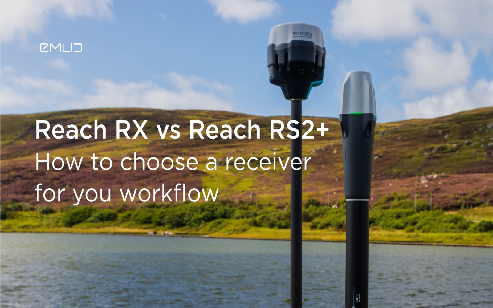
How to choose between Reach RX and Reach RS2+?
Emlid recently expanded the range of Emlid Reach receivers with two new products, Reach RX and Reach RS2+. Defining all the features...

IDS GeoRadar releases new RockSpot software update
IDS GeoRadar, part of Hexagon, announced a new software update for RockSpot, IDS GeoRadar's innovative radar system capable of...

All-new Emlid Reach RX: pocket-sized RTK rover
Emlid launches a new product, the Emlid Reach RX network rover. This is a high-performance, multi-band RTK rover that focuses on simplicity.
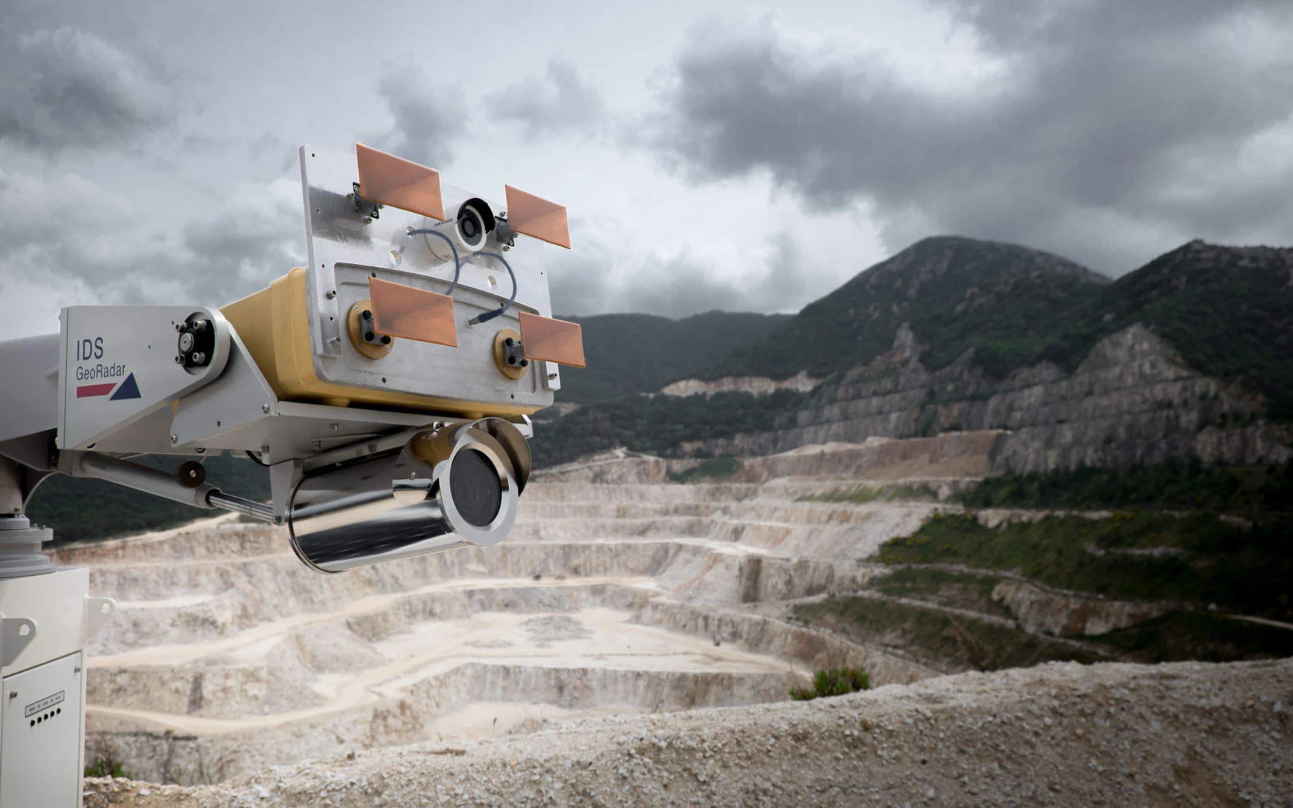
IDS GeoRadar Announces New IBIS-FM EVO C
IDS GeoRadar, part of Hexagon, announced the release of the interferometric radar IBIS-FM EVO C for monitoring long-range structures and slopes...
How to order 3Dscan.lv services or purchase equipment and software?
To order survey work, laser scanning or geo-scanning, as well as technical inspection or other surveys at your facilities, call or write to our office