

3D scanning in the aviation industry
FARO
3D scanning in the aviation industry
Since the aviation industry requires high-precision parts and components, 3D scanning technology is ideal for design, production and assembly in this particular industry.
How does 3D scanning improve the aviation industry? This contactless measurement technology can capture millions of data points to simulate and test complex parts such as turbines and engines. The high speed at which 3D laser scanning can retrieve data also helps reduce the airplane’s downtime.
How to perform 3D analysis of the aircraft? With the help of 3D scanning technology, the structure of each part of the designed aircraft is scanned to generate 3D data. This data is then imported into professional software to create CAD models that serve as a database for CFD analysis. CFDs are used during preliminary analysis, where you can test different configurations, thereby reducing design costs. This data can also be used to measure and check minor structural deformations that occur during a flight operation test to optimize aircraft design.
Accuracy is a priority in the design of the aircraft, since a small error can hinder the development of the product and lead to performance disruptions. 3D technology, which is an effective way to get accurate 3D data, helps improve reverse engineering of aircraft design design. It serves as an intuitive guide for engineers to understand the design idea, technical characteristics, to create aircraft with greater efficiency at lower prices.
3D scanning technology can be applied to the inspection of manufactured aircraft parts. Thus, 3D models of different parts can be generated for virtual assembly.
With virtual representations of physical models, this reduces the need for physical assembly prototypes. It is much more effective to check the accuracy of the project, identify possible assembly errors and modify the construction model.
Take a look at the 3D scanners and programs we offer here:
https://3dscan.lv/aprikojums-un-programmatura-3d-scan/
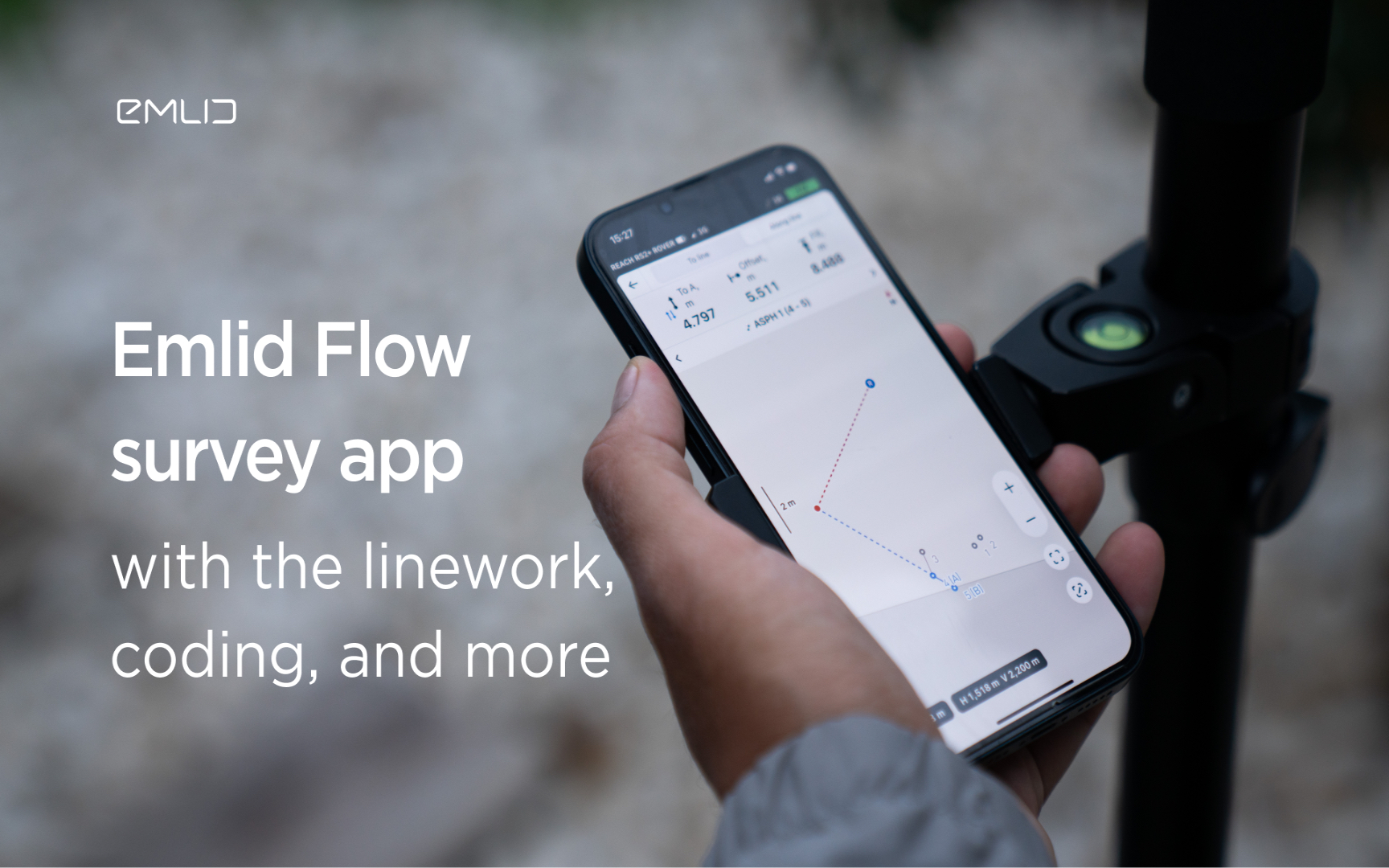
Emlid introduces the Flow app with an interactive interface, coding and more
Emlid introduces new functionality and a new name for the data mining app. Meet Emlid Flow, the updated ReachView 3 app with new professional...

IDS GeoRadar Launches Hi-Sense
IDS GeoRadar, part of Hexagon, announced the new Hi-Sense algorithm for the Guardian, IDS GeoRadar's powerful and user-friendly software for tilt monitoring.

New Reach firmware 30 improves Reach compatibility with other receivers and software
Emlid introduces the Reach Firmware 30 update. This version focuses on the compatibility of Reach receivers with third-party equipment...
FARO acquires SiteScape, the leader in LiDAR-based scanning software
2022. In December, FARO Technologies, a global leader in 4D digital reality solutions, today announced the company's SiteScape...
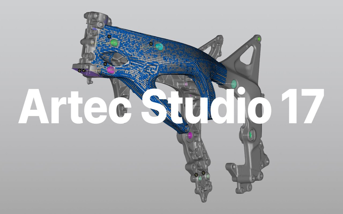
Artec Studio 17.1 is here
The 3D scanning and data processing software platform, which until recently received special improvements, is gaining even more power in its latest version, Artec Studio 17.1

FARO unveils first augmented reality app in Sphere ecosystem for concrete construction
FARO Technologies, a global leader in 4D digital reality solutions, today announced FARO® Flatness Check, the company's first augmented reality app...
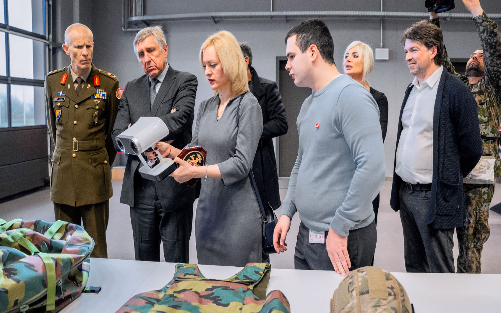
Luxembourg Defence Directorate donates Artec 3D scanners to Ukraine to document war crimes
The Luxembourg Defence Directorate has delivered to Ukraine a full package of innovative Artec 3D technologies...

FARO unveils new Focus Core laser scanner
FARO Technologies, a global leader in 4D digital reality solutions, announces the release of the FARO®® Focus Core Laser Scanner.

Artec 3D opens a modern production facility in Luxembourg
Artec 3D, a world-renowned developer and manufacturer of professional 3D hardware and software, has officially opened the latest optoelectronics plant in Luxembourg.

What is reverse engineering?
As opposed to the usual design workflow, in which you "start from nothing" and create a product from the very beginning, in reverse engineering you start...

FARO acquires mobile scanning market leader GeoSLAM
FARO® Technologies, a global leader in 4D digital reality solutions, today announced the UK-based GeoSLAM...
How to order 3Dscan.lv services or purchase equipment and software?
To order survey work, laser scanning or geo-scanning, as well as technical inspection or other surveys at your facilities, call or write to our office