

An after-production software application for advanced GPR data analysis that provides a quick interface between user and GPR data.
Price on request

Compact remote sensing monitoring system. Designed for early warning and real-time measurement of submillimeter shifts in buildings, dams, tunnels, mining infrastructures and slopes.
Price on request

Remote static and dynamic monitoring with an accelerometer to reduce large external vibrations.
Price on request

A towed ground radar solution for IDS vehicles, the Stream X unit covers a 2 m wide swath with one go.
Price on request

Maximum depth, high resolution and versatile design for excellent productivity in underground research.
Price on request

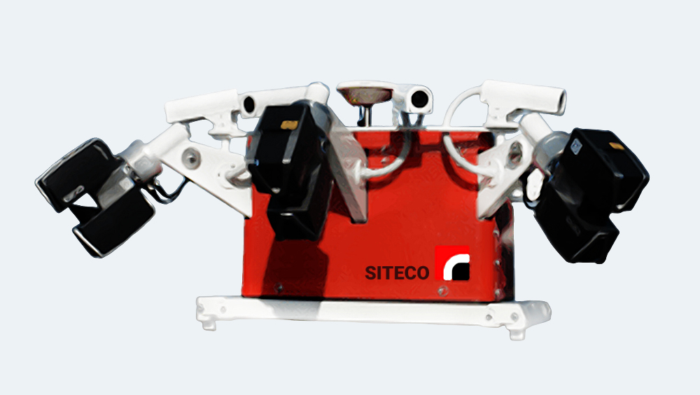
RIS Hi-Pave is a ground-based radar solution designed for high-speed road assessment surveys and is capable of operating multiple antennas simultaneously.
Price on request

Look through specific constructions and discover true data that leads to optimal decision-making.
Price on request

The best option for the design and production of organic forms, giving you a real feeling of clay modeling, but with all the additional advantages of digital design.
Price on request

With extensive and comprehensive reporting and analysis, Control X is the leading software for ensuring high quality control.
Price on request

For product design and 3D reverse engineering in industries such as manufacturing, engineering, art, computer graphics, healthcare, and many others.
Price on request

Great for using 3D objects in industrial engineering, design, architecture, and more. Includes direct integration with Artec Studio.
Price on request

Transform your workflow and discover new and exciting ways to work with captured data, such as fast prototyping, quality control, reverse engineering, and more.
Price on request

Ruggedness corresponds to the quality of the data on the most intuitive ground permeability radar, which ensures the location and mapping of services
Price on request

FARO Zone 2D is a crime scene sketch software that eliminates the monotony of scenes and site charts with hand drawing.
Price on request
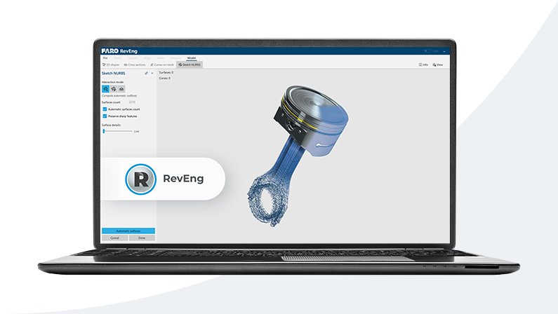
Streamline scanning and development workflow by downloading FARO RevEng reverse engineered software
Price on request
Price on request
Interferometric radar is used for bridges and other structures, including buildings, historical monuments and towers.
Price on request
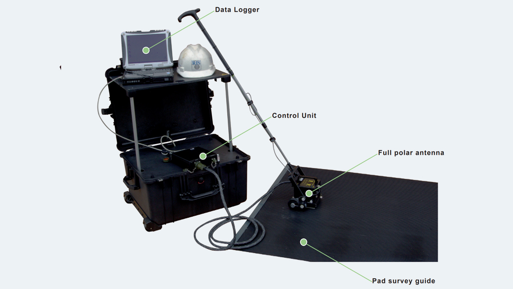
Aladdin allows you to get three-dimensional images with high resolution. This GPR detects shady and deep targets with a polar antenna.
Price on request
Price on request
Price on request
69900,00 €
Price on request
Price on request
Price on request
Price on request
Price on request
Price on request
Price on request

Design, visualize, document, and deliver projects of all sizes with Archicad’s powerful set of built-in tools and easy-to-use interface that make it the most efficient and intuitive BIM software on the market.
Price on request
Price on request
Price on request
Price on request
Price on request
Price on request








How to order 3Dscan.lv services or purchase equipment and software?
To order survey work, laser scanning or geo-scanning, as well as technical inspection or other surveys at your facilities, call or write to our office