
“GeoMonitoring” – powerful, interactive 3D visualizations of the monitored environment
GeoMonitoring, a new web security monitoring platform!
Hexagon, a global leader in measurement technology, launched GeoMonitoring, a web security monitoring platform. The platform is based on powerful, interactive 3D visualizations of the monitored environment that offer access to data and charts with just a few clicks. This intuitive view of monitoring data allows geotechnical engineers and geologists to manage the entire monitoring cycle – from field data collection to interpretation.
Landslides and land deformation can cause significant damage to urban areas and critical infrastructure such as dams, roads and railways. The visualization and analytics tools of the new web platform provide actionable insights for early security interventions that protect people and high-value assets.
GeoMonitoring combines a user-friendly interface with seamless data acquisition and management, collaborative analysis tools, and automatic smart alerts. Its comprehensive view of the environment helps users identify movement patterns, understand correlations, and detect anomalies, making insights more accessible to non-experts and supporting better decision-making.
Updated IT security standards and improved user management features on the GeoMonitoring platform allow multiple stakeholders to work in one secure project environment. These features include secure data transmission with encrypted communication, protected user access, and multi-user profiling.
“GeoMonitoring is a growing platform built with a focus on users,” says Niccolo Koli, president of radar and monitoring at Hexagon Geosystems. “With its scalable software architecture, GeoMonitoring supports a variety of projects, from on-premises to large-scale multi-site monitoring. Users can collaborate across workflows and benefit from optimized radar data management with more efficient processes, improved alarm management, and fast data access.”
SIA “SVSolutions” is IDS GeoRadar, which is part of Hexagon, a dealer of products in Latvia, Lithuania and Estonia.
For more information, visit:

IDS GeoRadar Unveils New C-thrue XS Georadar
The C-thrue XS is a compact hand-sized GPR (georadar) with double polarization so you don't miss a single detail every scan.

3D scanning in the aviation industry
How does 3D scanning improve the aviation industry? It captures millions of data points to model and test complex parts such as turbines and engines.

3D scanning of auto parts
3D scanning can be great for building your project car, changing parts, or making upgrades.

Car restoration using FARO 3D solutions
With Quantum Max, it's fantastic to be able to design a part and be sure that it will fit into the existing hull without relying on guesswork

123 years of digitizing classic Renault cars in 3D with Artec Leo & Ray
Artec Ray and Artec Leo's incredible collaboration on 3D digitization of exclusive Renault cars.

New Artec Studio 18: Faster, AI-powered, color 3D scanning program certified for metrology
The industry's first mix of different resolutions to create unique, feature-rich models and advanced AI for sharp, unmatched realistic textures.

FARO unveils new solution for much faster scanning
FARO Technologies, a global leader in 4D digital reality solutions, announces the release of Hybrid Reality Capture™ powered by Flash™...

IDS GeoRadar announces the release of Stream DP radar
IDS GeoRadar, part of Hexagon, announced Stream DP, an upgrade for 3D mapping that uses multichannel ground throughput radar (GPR).
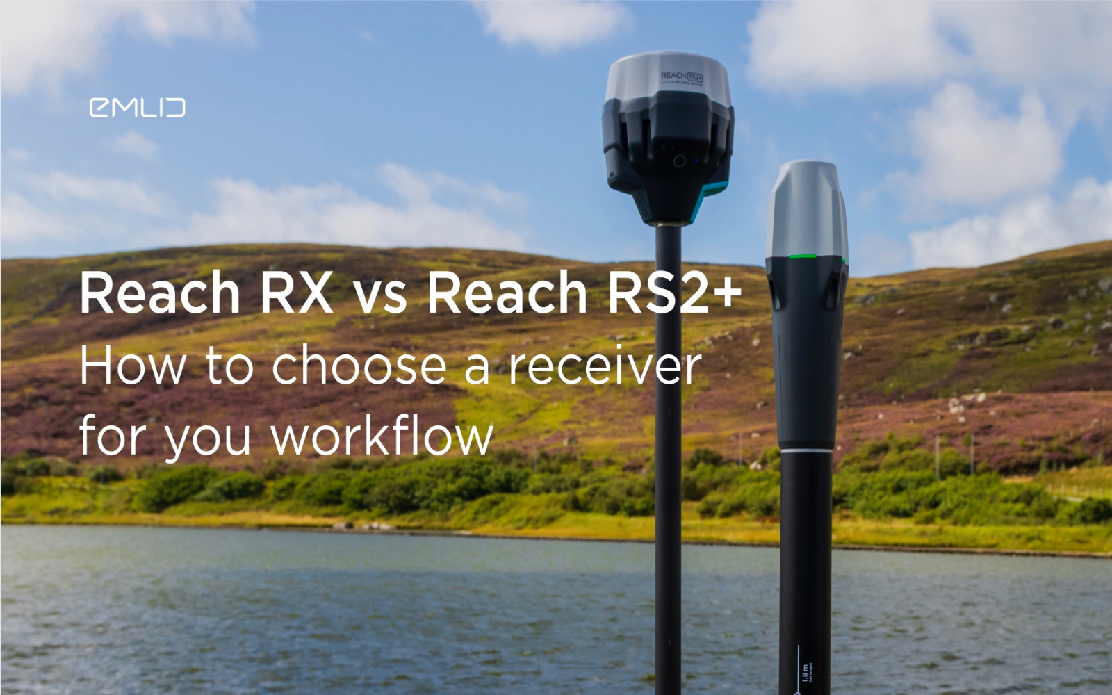
How to choose between Reach RX and Reach RS2+?
Emlid recently expanded the range of Emlid Reach receivers with two new products, Reach RX and Reach RS2+. Defining all the features...

IDS GeoRadar releases new RockSpot software update
IDS GeoRadar, part of Hexagon, announced a new software update for RockSpot, IDS GeoRadar's innovative radar system capable of...

All-new Emlid Reach RX: pocket-sized RTK rover
Emlid launches a new product, the Emlid Reach RX network rover. This is a high-performance, multi-band RTK rover that focuses on simplicity.
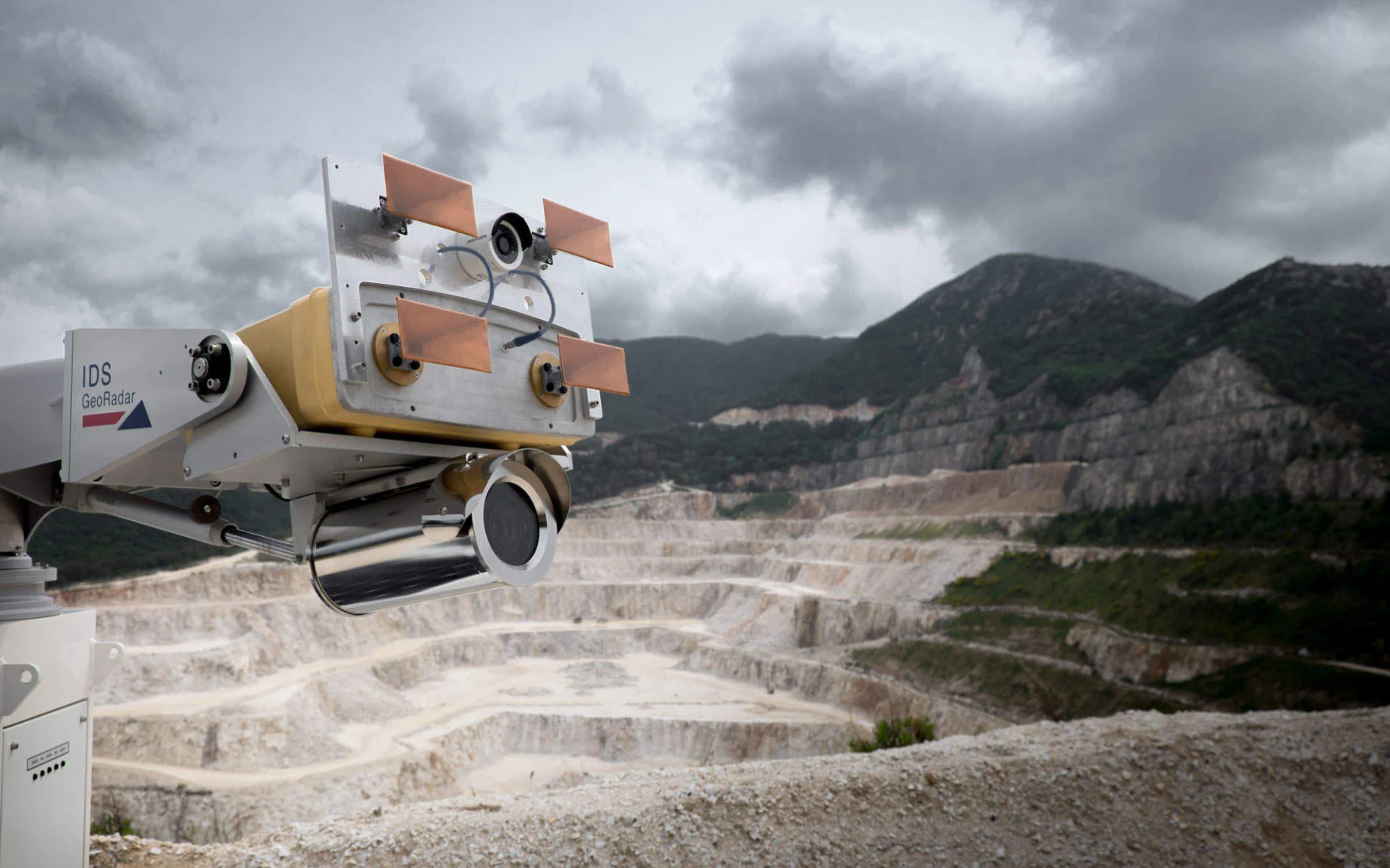
IDS GeoRadar Announces New IBIS-FM EVO C
IDS GeoRadar, part of Hexagon, announced the release of the interferometric radar IBIS-FM EVO C for monitoring long-range structures and slopes...
How to order 3Dscan.lv services or purchase equipment and software?
To order survey work, laser scanning or geo-scanning, as well as technical inspection or other surveys at your facilities, call or write to our office