

We believe that the future of RTK GNSS is not about complexity – it’s about simplicity
Emlid
We believe that the future of RTK GNSS is not about complexity – it’s about simplicity
Over the past decade, Emlid has evolved from a start-up into a reliable, global supplier of high-precision GNSS solutions. Our story began with making RTK available, and today we continue this journey with a bold commitment to the philosophy of simplicity.
We believe that the future of RTK GNSS is not about complexity—it’s about simplicity that turns into confidence. It’s about using equipment that simply works, whether you’re under dense foliage of trees, moving around the city, or measuring a hard-to-reach point.
We build reliable, intuitive tools for everyone, everywhere. Every detail, from the first setup to the daily workflows, is designed to support both experienced professionals and inexperienced people.
Continuing this philosophy, we are introducing the new generation of Emlid GNSS receivers.
Next generation of Emlid RTK GNSS: Reach RS4 and RS4 Pro, Reach RX2
At the beginning of the Emlid journey, we proved that centimeter-level GNSS accuracy could cost 10 times less. Now the next obstacle is eliminated : complexity.
All-band RTK capture (L1/L2/L5/L6) across all satellite systems to deliver unmatched performance in urban cities, dense tree foliage and other challenging conditions.
Integrated antenna system with diverse LTE, dual-band Wi-Fi and Bluetooth for pure GNSS signal, and a stable fixation solution wherever you go.
Emlid multiband radio system up to 2 W, compatible with third-party equipment for sending and receiving corrections. Radio supports both licensed and licensed operation at 450 MHz and 915 MHz frequencies. This allows users to adapt to the needs of the project while complying with regulatory requirements.
Next-generation IMU slope compensation with up to 5x faster initialization.
Durable design with magnesium alloy housing, IP68 protection and user-replaceable bumpers to protect the receiver from the most frightening falls.
Designed for iPhone certification to ensure compatibility with iOS apps, including Esri ArcGIS apps.
Based on the RS4 platform, the Reach RS4 Pro adds revolutionary vision capabilities. With two factory-calibrated full HD cameras, it provides new features:
AR Markup – intuitive, augmented reality control for quick and easy navigation to points. Any project geometry can be projected in AR mode in the Emlid Flow app.
Measuring from images is a new solution to safely and quickly capture inaccessible points, whether they are on the façade or in the middle of the highway. Images taken directly from the receiver camera are processed by Emlid Flow to ensure accurate coordinates.
With its camera capabilities, the Reach RS4 Pro goes a step further than the traditional RTK. This next-generation receiver significantly speeds up marking and saves time on the installation of a total station when taking measurements in hard-to-reach or dangerous places.
Pocket-sized and easy to deploy, the Reach RX2 is ideal for GIS, construction and asset management in companies managing multiple projects and teams. It integrates seamlessly with Esri’s ArcGIS apps for GIS data collection and with the Pix4Dcatch app for mobile earth scanning.
Reach RX2 RTK rover with tilt compensation
Emlid receivers work immediately after removal from the box with the simplicity of the consumer device, while providing the accuracy that professionals expect in the field.
This simplicity not only saves time, but also opens up new methods of work.
For more information, visit:

IDS GeoRadar Unveils New C-thrue XS Georadar
The C-thrue XS is a compact hand-sized GPR (georadar) with double polarization so you don't miss a single detail every scan.

3D scanning in the aviation industry
How does 3D scanning improve the aviation industry? It captures millions of data points to model and test complex parts such as turbines and engines.

3D scanning of auto parts
3D scanning can be great for building your project car, changing parts, or making upgrades.

Car restoration using FARO 3D solutions
With Quantum Max, it's fantastic to be able to design a part and be sure that it will fit into the existing hull without relying on guesswork

123 years of digitizing classic Renault cars in 3D with Artec Leo & Ray
Artec Ray and Artec Leo's incredible collaboration on 3D digitization of exclusive Renault cars.

New Artec Studio 18: Faster, AI-powered, color 3D scanning program certified for metrology
The industry's first mix of different resolutions to create unique, feature-rich models and advanced AI for sharp, unmatched realistic textures.

FARO unveils new solution for much faster scanning
FARO Technologies, a global leader in 4D digital reality solutions, announces the release of Hybrid Reality Capture™ powered by Flash™...

IDS GeoRadar announces the release of Stream DP radar
IDS GeoRadar, part of Hexagon, announced Stream DP, an upgrade for 3D mapping that uses multichannel ground throughput radar (GPR).
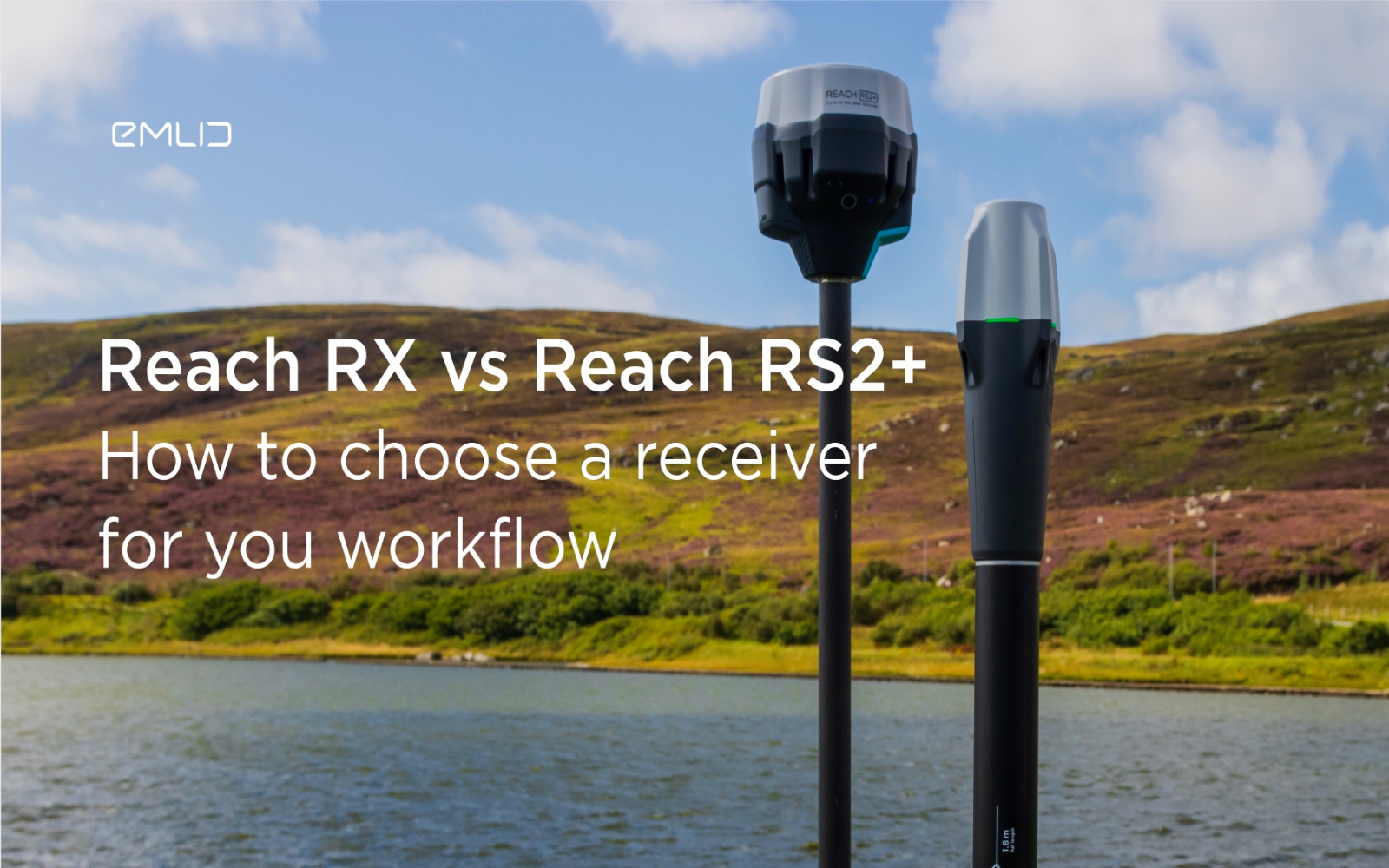
How to choose between Reach RX and Reach RS2+?
Emlid recently expanded the range of Emlid Reach receivers with two new products, Reach RX and Reach RS2+. Defining all the features...

IDS GeoRadar releases new RockSpot software update
IDS GeoRadar, part of Hexagon, announced a new software update for RockSpot, IDS GeoRadar's innovative radar system capable of...

All-new Emlid Reach RX: pocket-sized RTK rover
Emlid launches a new product, the Emlid Reach RX network rover. This is a high-performance, multi-band RTK rover that focuses on simplicity.
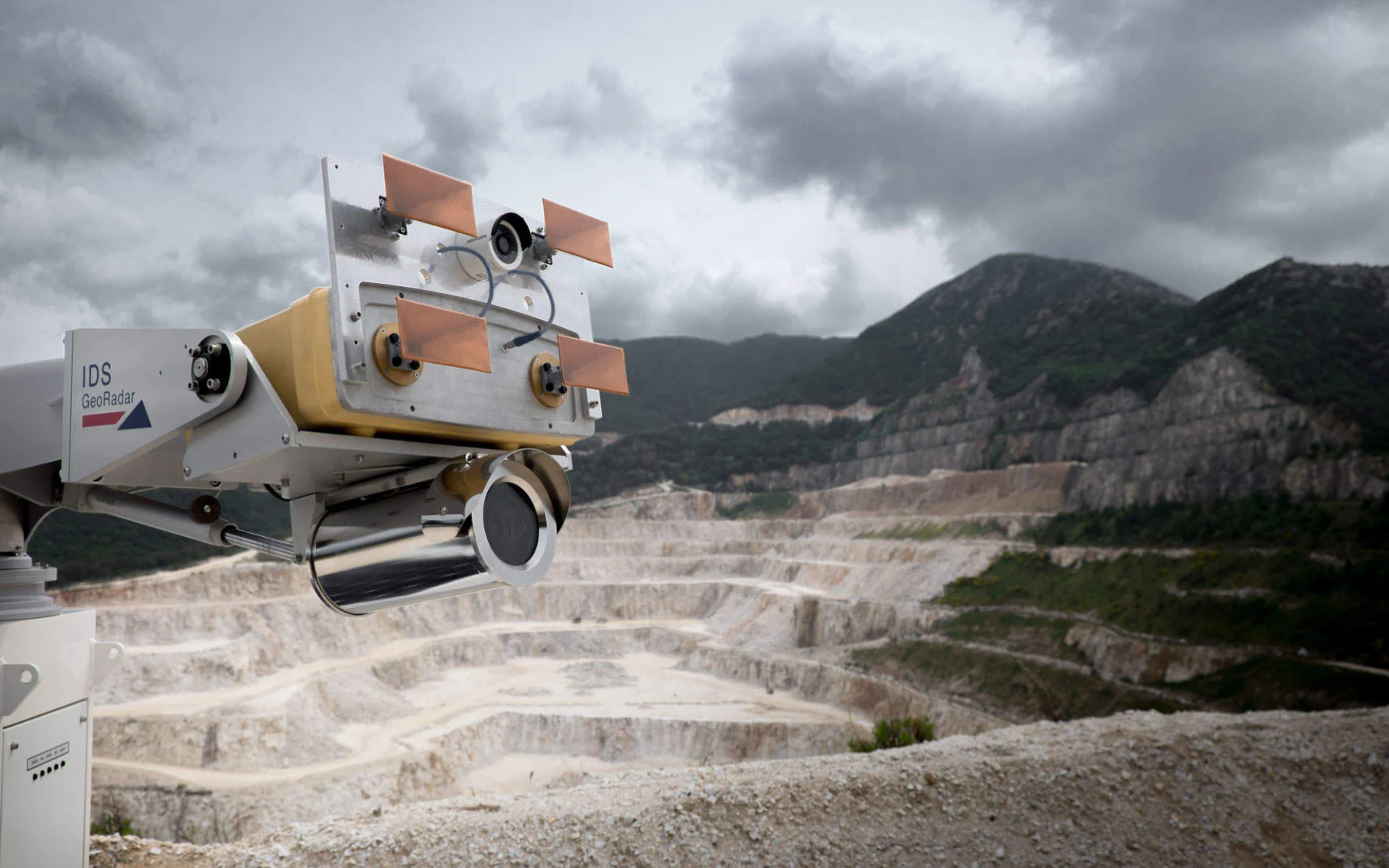
IDS GeoRadar Announces New IBIS-FM EVO C
IDS GeoRadar, part of Hexagon, announced the release of the interferometric radar IBIS-FM EVO C for monitoring long-range structures and slopes...
How to order 3Dscan.lv services or purchase equipment and software?
To order survey work, laser scanning or geo-scanning, as well as technical inspection or other surveys at your facilities, call or write to our office