

Artec Remote app adds new navigation features for advanced Ray II 3D scanning
ARTEC 3D
Artec Remote app adds new navigation features for advanced Ray II 3D scanning
Artec 3D, a leading developer of 3D scanning hardware and software, has released a new and exciting update to its Artec Remote app, which promises to help users achieve even better results.
The Artec Remote app allows Artec Ray II long-range 3D scanner owners to seamlessly connect to their device and capture large objects or areas from a distance. Thanks to a recent update, these users can now use a more advanced, intuitive navigation mode.
With the newly created mapping function, it is possible to get a bird’s-eye view of the progress of 3D scanning, facilitating navigation and full digitization. This feature, built using the Ray II Visual Inertial System (VIS), which accurately tells the scanner its location in a 3D environment, is also great for optimizing placement and planning projects from top to bottom.
This powerful mapping functionality works great with the app’s existing 3D point cloud mode. Together, these tools allow users to rotate, zoom in on perceived areas, and evaluate aspects such as geometric accuracy, surface coating, and level of detail. Choose one scan, rotate the camera, check the results, and then move to the next location to refine your model.
Finally, the 360° panorama mode of the Artec Remote app simplifies the quality check of the photo texture. When scanning “stand inside”, just like in the street view of Google Maps, you can notice overexposed places. Also, artifacts become obvious and quickly removed, resulting in realistic 3D models.
Artec’s lightning-fast, 130-meter range LiDAR scanner has already been used to digitize everything from railway lines to entire factories. With the latest batch of updates to the Artec Remote app, users can expect a much smoother workflow that allows results to be visualized impressively on the spot with unprecedented detail to get the best possible Ray II scans.
The latest version of the Artec Remote app is now available for download on both the App Store and Google Play.
SIA “SV Solutions” is the official dealer of Artec 3D products in Latvia, Estonia and Lithuania.

IDS GeoRadar Unveils New C-thrue XS Georadar
The C-thrue XS is a compact hand-sized GPR (georadar) with double polarization so you don't miss a single detail every scan.

3D scanning in the aviation industry
How does 3D scanning improve the aviation industry? It captures millions of data points to model and test complex parts such as turbines and engines.

3D scanning of auto parts
3D scanning can be great for building your project car, changing parts, or making upgrades.

Car restoration using FARO 3D solutions
With Quantum Max, it's fantastic to be able to design a part and be sure that it will fit into the existing hull without relying on guesswork

123 years of digitizing classic Renault cars in 3D with Artec Leo & Ray
Artec Ray and Artec Leo's incredible collaboration on 3D digitization of exclusive Renault cars.

New Artec Studio 18: Faster, AI-powered, color 3D scanning program certified for metrology
The industry's first mix of different resolutions to create unique, feature-rich models and advanced AI for sharp, unmatched realistic textures.

FARO unveils new solution for much faster scanning
FARO Technologies, a global leader in 4D digital reality solutions, announces the release of Hybrid Reality Capture™ powered by Flash™...

IDS GeoRadar announces the release of Stream DP radar
IDS GeoRadar, part of Hexagon, announced Stream DP, an upgrade for 3D mapping that uses multichannel ground throughput radar (GPR).
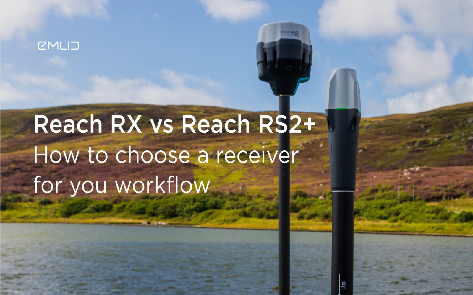
How to choose between Reach RX and Reach RS2+?
Emlid recently expanded the range of Emlid Reach receivers with two new products, Reach RX and Reach RS2+. Defining all the features...

IDS GeoRadar releases new RockSpot software update
IDS GeoRadar, part of Hexagon, announced a new software update for RockSpot, IDS GeoRadar's innovative radar system capable of...

All-new Emlid Reach RX: pocket-sized RTK rover
Emlid launches a new product, the Emlid Reach RX network rover. This is a high-performance, multi-band RTK rover that focuses on simplicity.
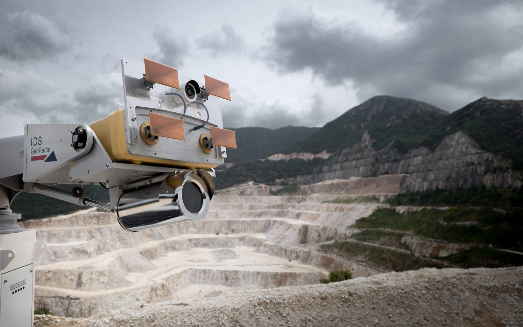
IDS GeoRadar Announces New IBIS-FM EVO C
IDS GeoRadar, part of Hexagon, announced the release of the interferometric radar IBIS-FM EVO C for monitoring long-range structures and slopes...
How to order 3Dscan.lv services or purchase equipment and software?
To order survey work, laser scanning or geo-scanning, as well as technical inspection or other surveys at your facilities, call or write to our office