

3D scanning for BIM projects and construction digitization
BIM
3D scanning for BIM projects and construction digitization
In order to increase the productivity of enterprises in the construction sector and to increase the quality of construction, the introduction of BIM (building information model) in Latvia is essential. It can be easily implemented using 3D scanning methods.
To shorten the construction implementation time and reduce the cost of the life cycle of structures, BIM should be used.
What is BIM? BIM or the building information model provides an opportunity to build any building digitally from the beginning by developing a 3D construction model, so all parties involved, including the customer, designer and construction merchant, can see from the very beginning what result is expected.
At the same time, it allows you to correct possible errors in the project even before the start of construction and eliminate other risks that may lead to additional work, making construction more expensive and prolonged.
With the help of BIM, it is also possible to more accurately calculate the required amount of building materials, as a result of which the total cost of building materials and the amount of waste generated during construction can be significantly reduced, which makes BIM one of the most effective tools for the development of environmentally friendly and sustainable construction.
BIM models can be used throughout the life cycle of a structure, including the management and maintenance of structures, as the information contained in the BIM model facilitates the planning and performance of these activities by significantly reducing their cost.
Performing 3D laser scanning ensures accurate and short-term measurements of the current situation, which conveys, both archetonic and construction works, high quality in all construction cycles, from the idea to the conformity assessment, also during the redesign works of an existing building.
With us you can order laser scanning works, or purchase the necessary equipment and software, we are official distributors of laser scanner manufacturing companies FARO and ARTEC equipment.

IDS GeoRadar Unveils New C-thrue XS Georadar
The C-thrue XS is a compact hand-sized GPR (georadar) with double polarization so you don't miss a single detail every scan.

3D scanning in the aviation industry
How does 3D scanning improve the aviation industry? It captures millions of data points to model and test complex parts such as turbines and engines.

3D scanning of auto parts
3D scanning can be great for building your project car, changing parts, or making upgrades.

Car restoration using FARO 3D solutions
With Quantum Max, it's fantastic to be able to design a part and be sure that it will fit into the existing hull without relying on guesswork

123 years of digitizing classic Renault cars in 3D with Artec Leo & Ray
Artec Ray and Artec Leo's incredible collaboration on 3D digitization of exclusive Renault cars.

New Artec Studio 18: Faster, AI-powered, color 3D scanning program certified for metrology
The industry's first mix of different resolutions to create unique, feature-rich models and advanced AI for sharp, unmatched realistic textures.

FARO unveils new solution for much faster scanning
FARO Technologies, a global leader in 4D digital reality solutions, announces the release of Hybrid Reality Capture™ powered by Flash™...

IDS GeoRadar announces the release of Stream DP radar
IDS GeoRadar, part of Hexagon, announced Stream DP, an upgrade for 3D mapping that uses multichannel ground throughput radar (GPR).
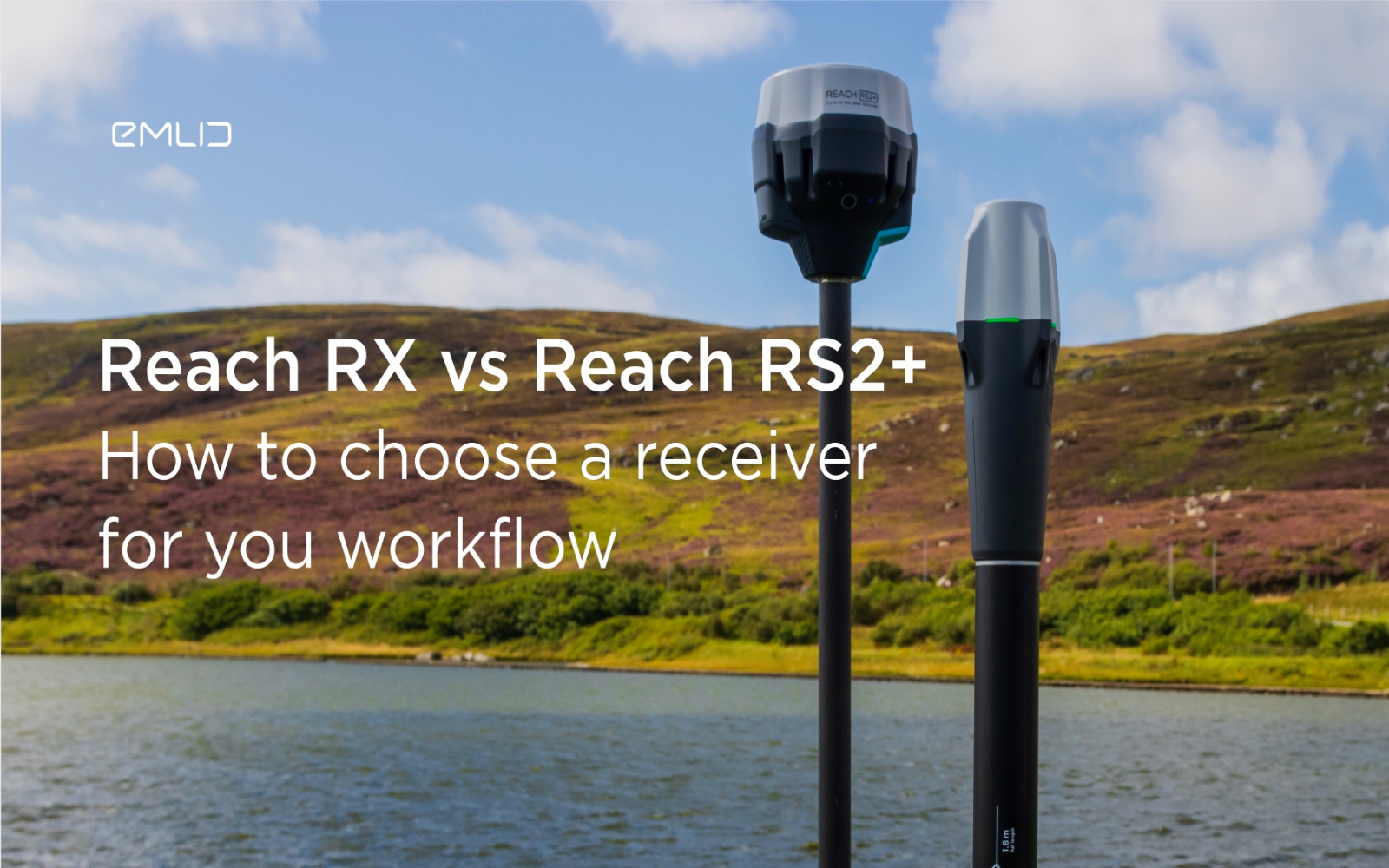
How to choose between Reach RX and Reach RS2+?
Emlid recently expanded the range of Emlid Reach receivers with two new products, Reach RX and Reach RS2+. Defining all the features...

IDS GeoRadar releases new RockSpot software update
IDS GeoRadar, part of Hexagon, announced a new software update for RockSpot, IDS GeoRadar's innovative radar system capable of...

All-new Emlid Reach RX: pocket-sized RTK rover
Emlid launches a new product, the Emlid Reach RX network rover. This is a high-performance, multi-band RTK rover that focuses on simplicity.
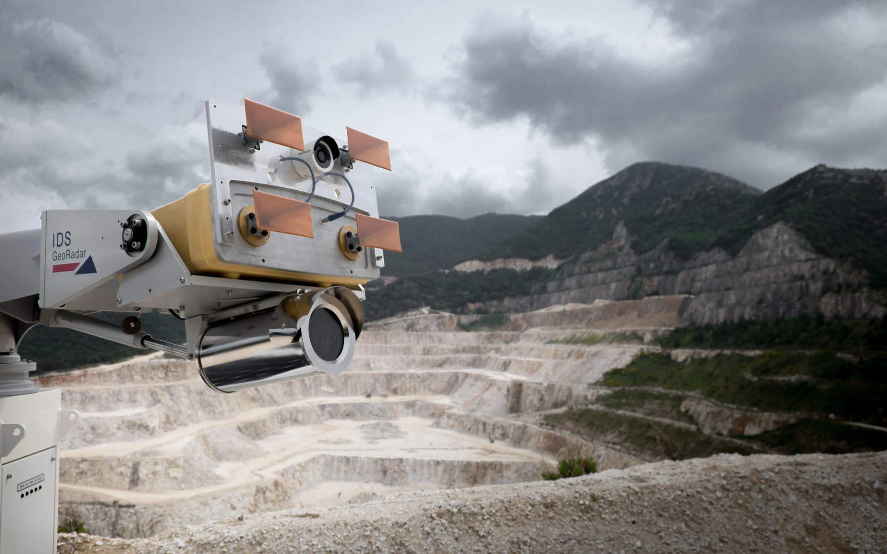
IDS GeoRadar Announces New IBIS-FM EVO C
IDS GeoRadar, part of Hexagon, announced the release of the interferometric radar IBIS-FM EVO C for monitoring long-range structures and slopes...
How to order 3Dscan.lv services or purchase equipment and software?
To order survey work, laser scanning or geo-scanning, as well as technical inspection or other surveys at your facilities, call or write to our office