
Technical services for the digital environment
From mobile laser scanning and aerial photogrammetry to technical surveys, 360° environments, and specialized engineering works.
Complementary technologies
Beyond a single method.
Complex tasks often require combining multiple technologies. Our range of services allows for documenting areas, acquiring data in motion, assessing the condition of structures, and preparing materials for further analysis or presentation.
For each project, we create a suitable workflow scenario — from data acquisition to a clear, practically usable result.
Specialized services
Select the required technology or work type
Open the detailed service page to learn about the options and most suitable applications.
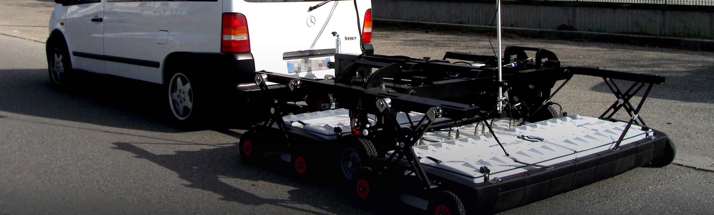
Ground Penetrating Radar (GPR)
Non-destructive exploration of underground objects, utilities, and structures.
Open section →
3D City Modeling
Acquisition and visualization of spatial data for urban environments and territories.
Open section →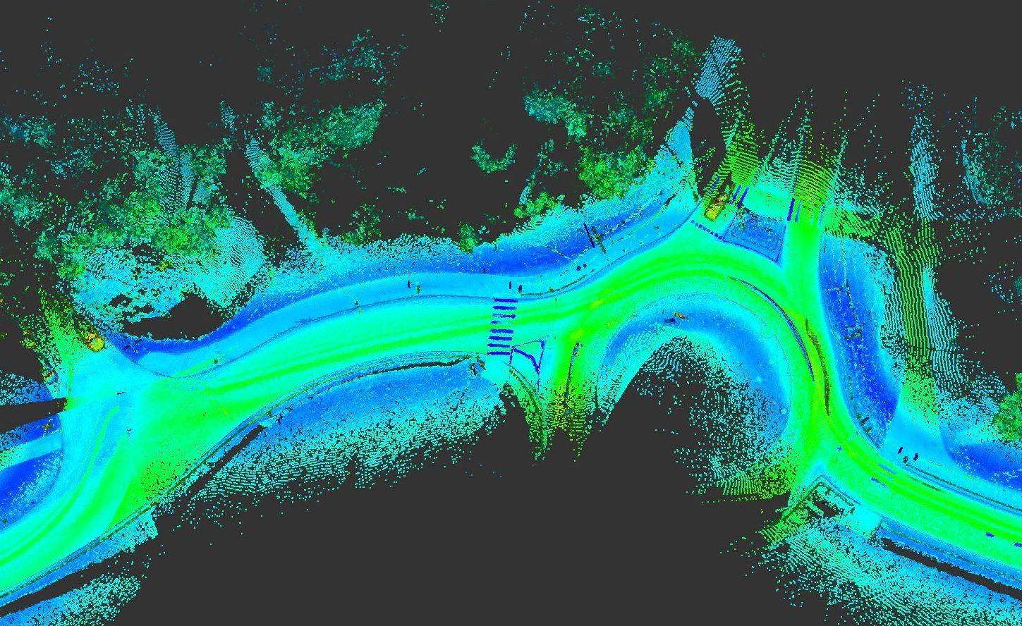
Mobile 3D Laser Scanning
Rapid data acquisition for roads, corridors, and large areas in motion.
Open section →
Metrological Measurements
Precise geometric control of parts and assemblies in a production environment.
Open section →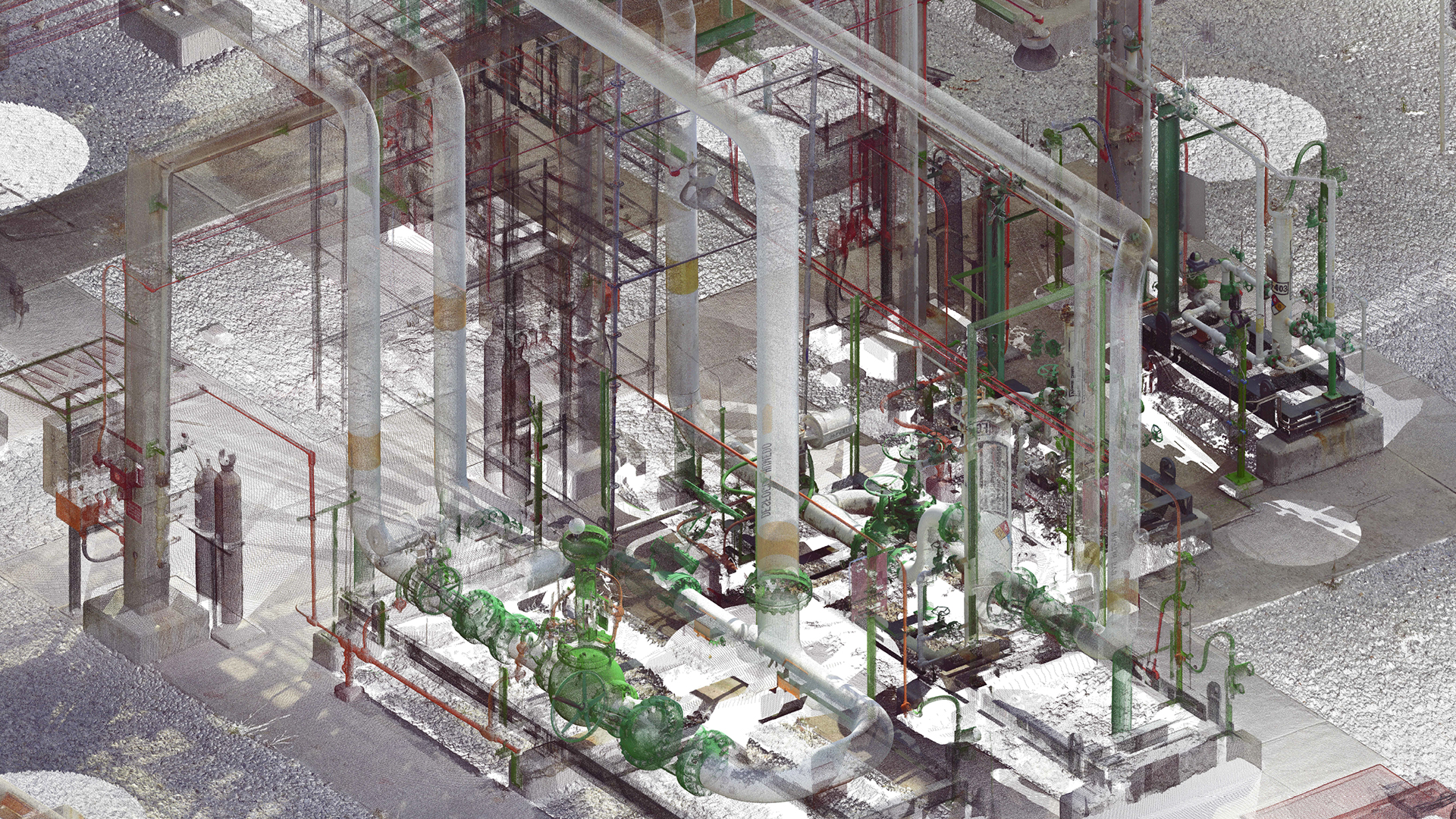
Technical Survey
Documentation and assessment of the actual condition of buildings and objects.
Open section →
Aerial Photogrammetry
Documentation of territories, facades, and objects from the air.
Open section →
360° Video Tour
Interactive viewing of spaces and territories for remote exploration and presentation.
Open section →
Injection
Specialized solutions for structural reinforcement and defect remediation.
Open section →
Data Processing and 3D Modeling
From point cloud to 3D model, BIM, deformation analysis, and reverse engineering results.
Open section →

One partner for various project stages
The solution is built around your task
If a project requires multiple types of measurements or documentation, we plan them as a unified workflow so that the data complements each other.