
Geophysical surveying for informed decision-making
We survey roads, railways, structures, territories, and the subsurface—precisely determining object location, condition, and potential changes.
See more. Understand with greater precision.
Measurements that reveal the invisible.
Geophysical surveying combines measurement technologies, GPR data, and professional interpretation. It helps reduce unknown factors before design, construction, drilling, or renovation works.
We select the most appropriate method for the task to detect underground utilities, inspect structures, evaluate infrastructure, or document geological and ecological conditions.
Geophysical Surveying Disciplines
Choose an approach suited to your research objective
Each discipline leads to a detailed page outlining specific method capabilities, applications, and case studies.
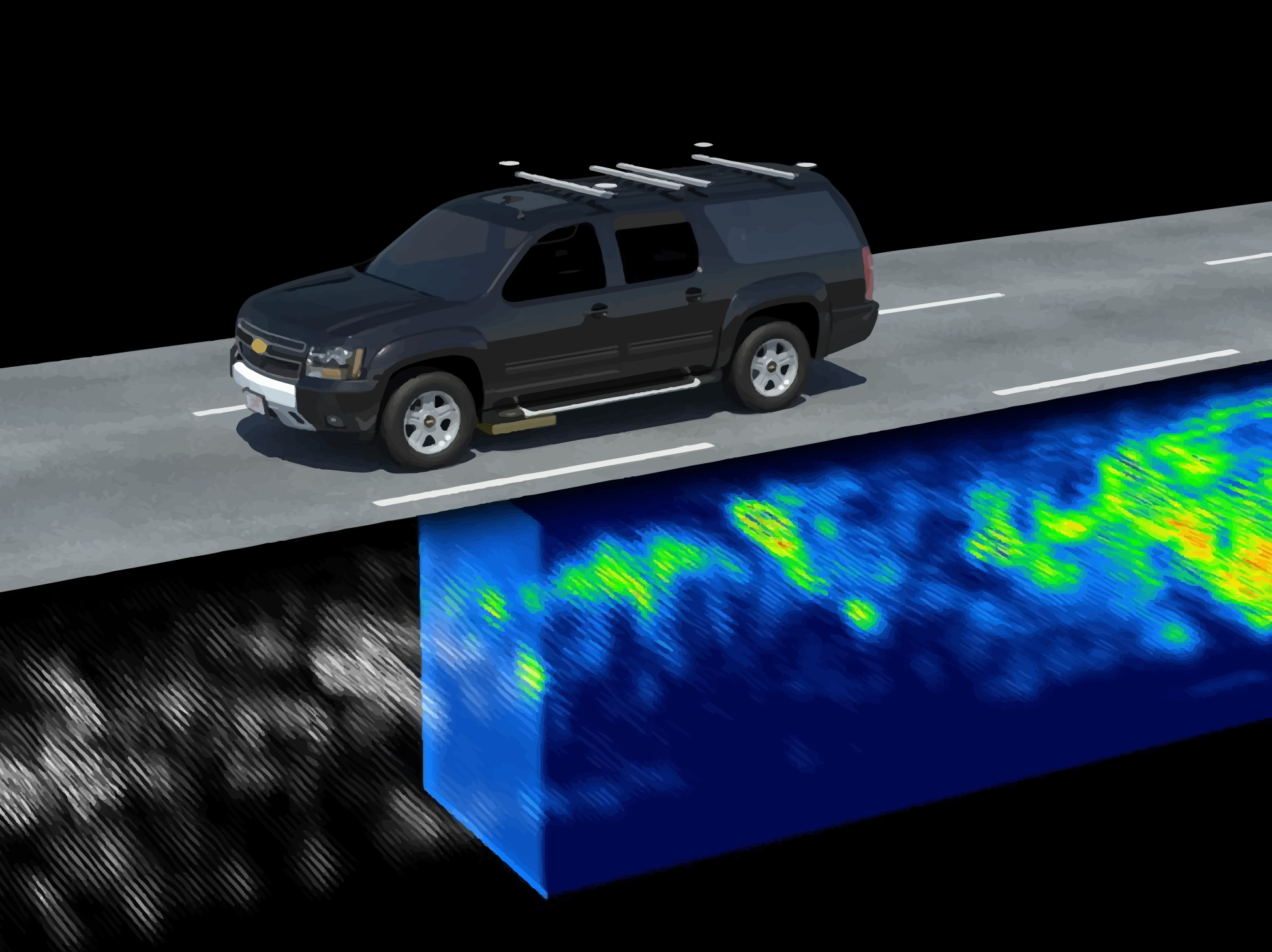
Road and Railway Inspection
Precise verification of transport infrastructure condition and geometry.
Open section →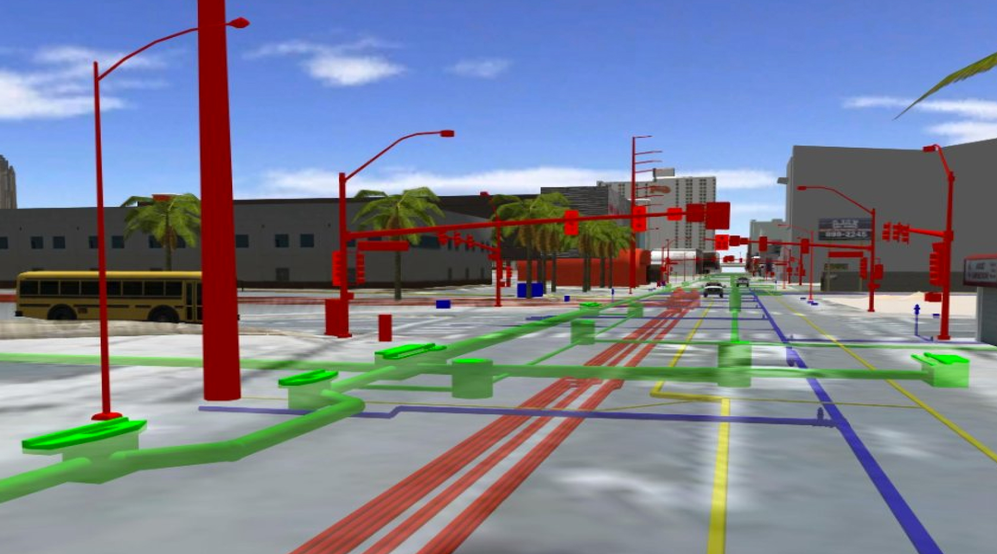
Utility Detection
Locating and mapping of underground engineering utilities.
Open section →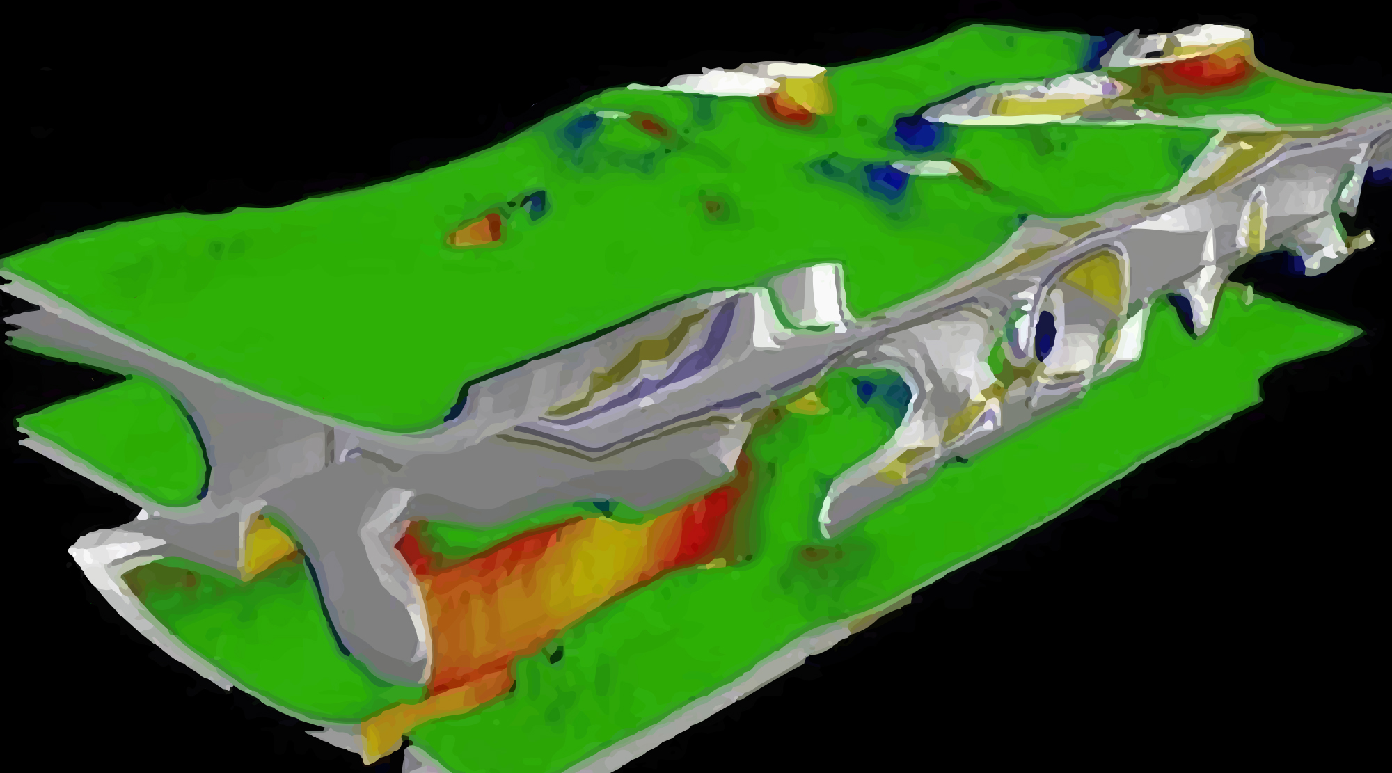
Hidden Object Detection
Identification of objects and anomalies beneath surfaces or within structures.
Open section →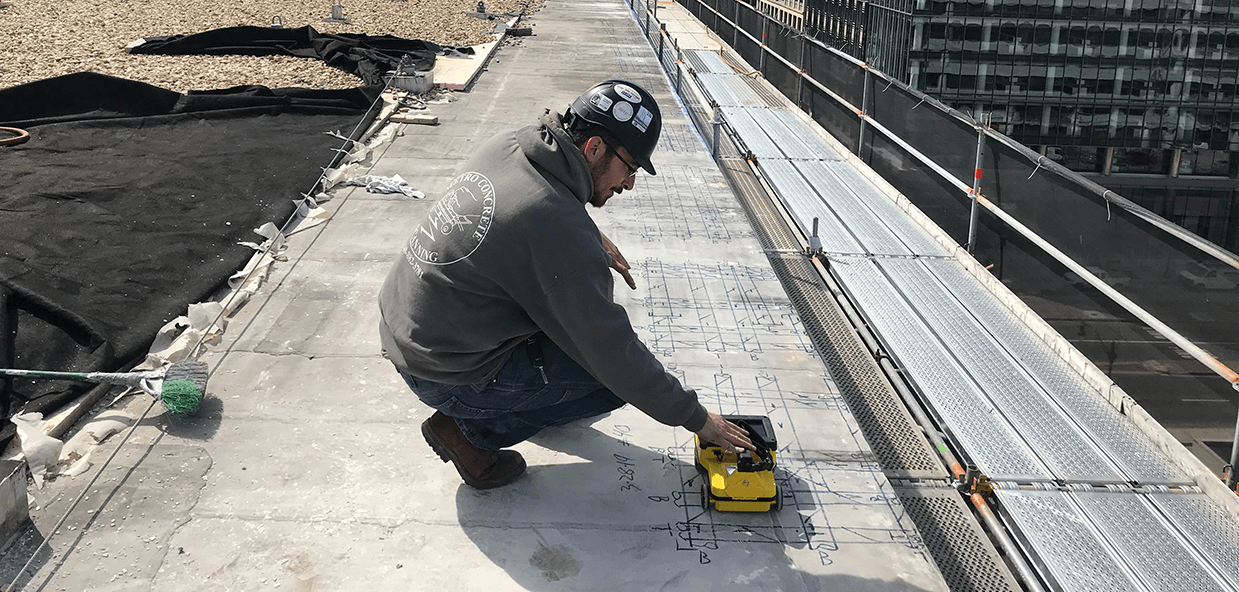
Reinforced Concrete Monitoring
Non-destructive investigation of reinforcement, defects, and structural features.
Open section →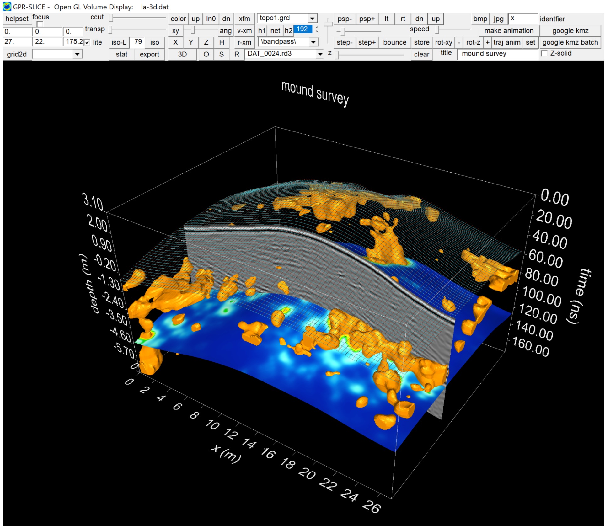
Archaeological Investigation
Exploration of subsurface structures without damaging the cultural layer or the site.
Open section →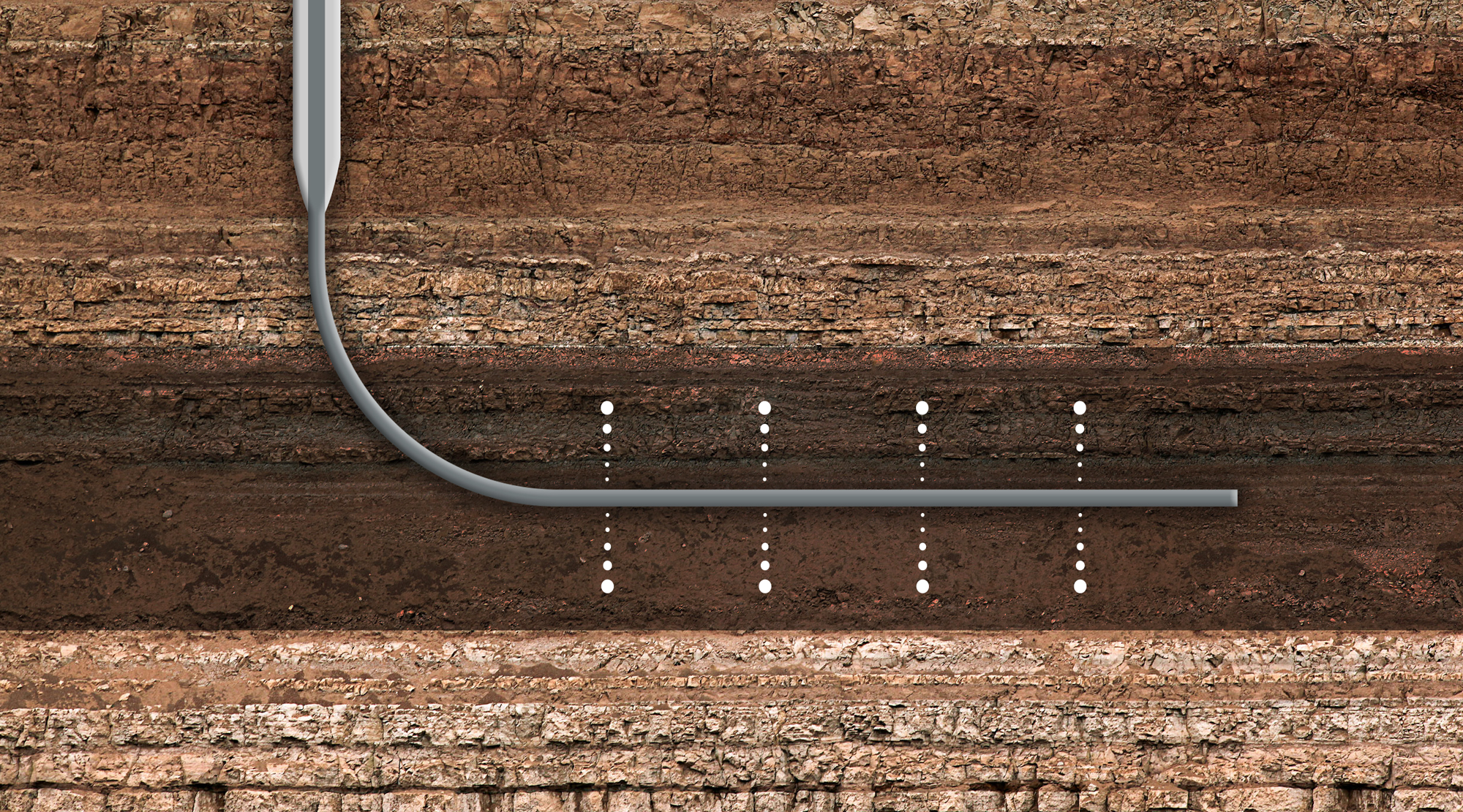
Horizontal Directional Drilling
Safer planning of drilling trajectories based on investigation data.
Open section →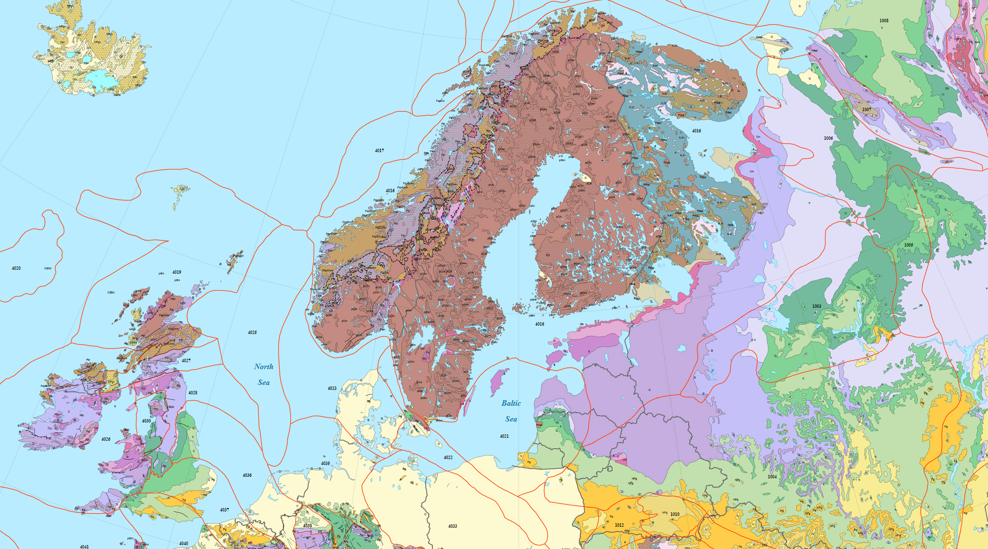
Geological Investigations
Spatial exploration of soil layers, structures, and changes.
Open section →
Ecological Assessment
Data for evaluating site conditions, risks, and future works.
Open section →

From inquiry to verifiable conclusion
Research with a clear objective and result
Before surveying, we clarify exactly what needs to be determined, the site conditions, and the format in which data will be required for subsequent work.