

Professional GNSS, LiDAR, Robotics, and Geospatial Technology Systems
ABOUT GENERAL LASER
Professional technologies for measurement, mapping, and automation
General Laser develops and integrates professional GNSS, LiDAR, robotics, and geospatial data solutions for various field and industrial tasks. 3Dscan.lv provides selection, consultation, and implementation support for these technologies in the Baltic market.
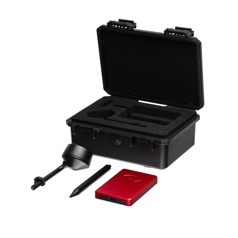
We represent General Laser and offer professional solutions for precise positioning, 3D scanning, mapping, automation, and robotics. The General Laser product range combines RTK GNSS receivers, LiDAR sensors and scanners, mobile robot platforms, inertial navigation systems, autonomous inspection solutions, and specialized software.
GENERAL LASER KEY ADVANTAGES
Modular solutions for professional data acquisition and automation
WHAT TASKS DO GENERAL LASER TECHNOLOGIES SOLVE?
From precise positioning and 3D data acquisition to autonomous inspection, mapping, and robotics.
RTK GNSS SYSTEMS
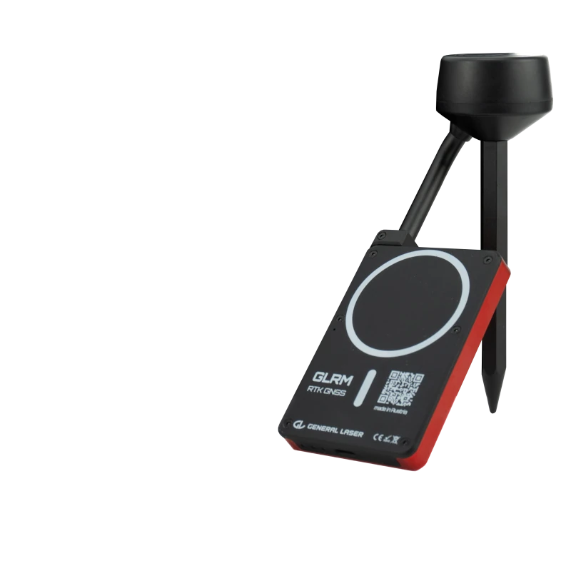
GLRM, mapping kits, and portable receivers for centimeter-level positioning.
LIDAR SCANNERS AND SENSORS
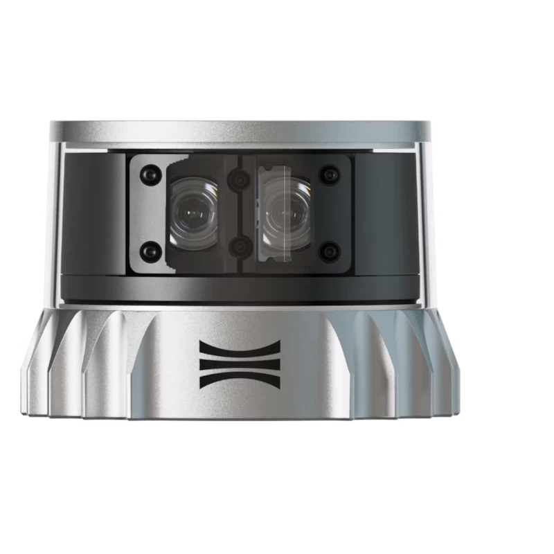
GLidar, Ouster, Innoviz, and Opsys solutions for 3D data acquisition and perception.
MOBILE ROBOT PLATFORMS
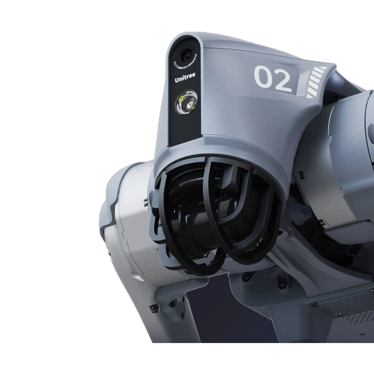
Hexmove, Unitree, and AgileX Robotics platforms for automation and inspection.
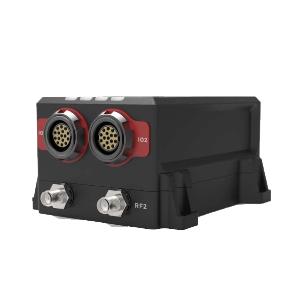
IMU AND NAVIGATION SYSTEMS
Inertial sensors, autopilots, and navigation components for stable motion detection.
ADDITIONAL GENERAL LASER SOLUTION AREAS
From autonomous inspection and AR mapping to VTOL systems and professional software.
AUTONOMOUS INSPECTION AND SAFETY
Mobile robots for remote inspection, monitoring, and work in hazardous environments.
AR GIS AND MAPPING
GeoAce and ScanAce solutions for spatial data visualization and field work.
VTOL AND UAV SYSTEMS
Quantum Systems Trinity platforms for efficient surveying of large areas.
PROFESSIONAL SOFTWARE
Agisoft Metashape, 3Dsurvey, tcpGPS, GeoAce, ScanAce, EasyGIS, GLA RTK, and other tools.
SYSTEMS INTEGRATION
Combining sensors, robots, and software into a unified workflow.
CONSULTATION AND SUPPORT
Assistance with configuration selection, implementation, training, and technical support.
3Dscan.lv | SV Solutions – official representative

Latvia, Lithuania and Estonia
How to order 3Dscan.lv services or purchase equipment and software?
To order survey work, laser scanning or geo-scanning, as well as technical inspection or other surveys at your facilities, call or write to our office