
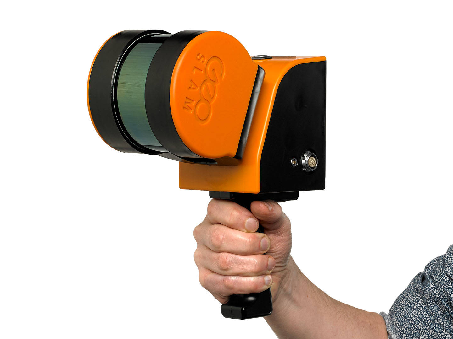
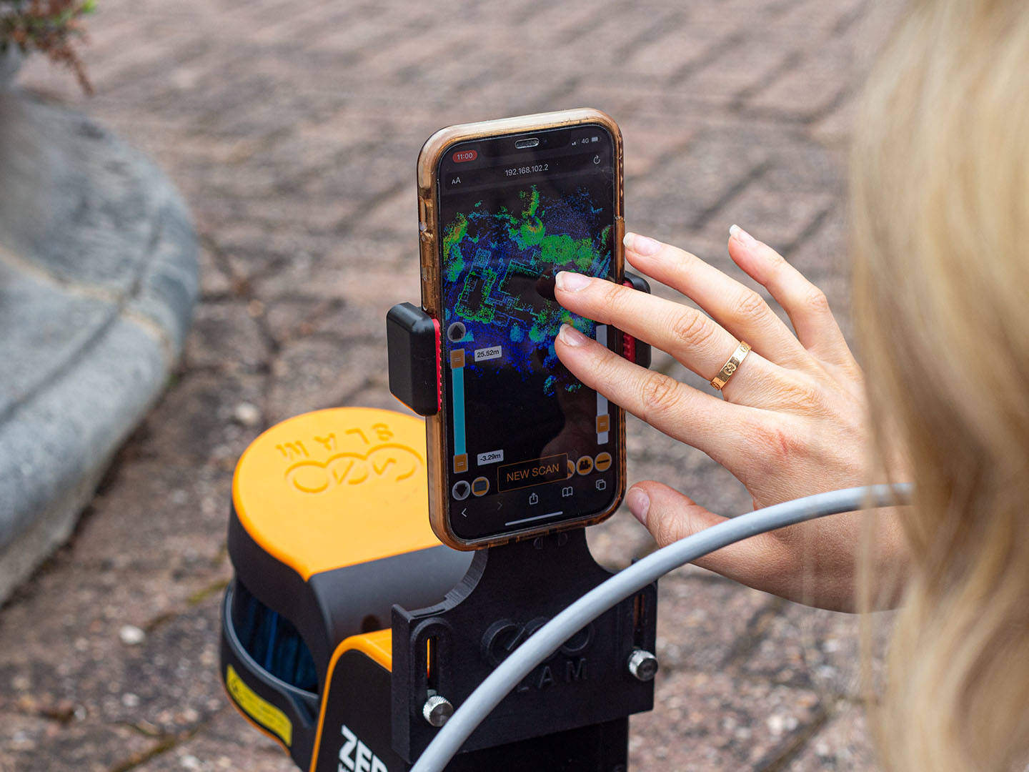
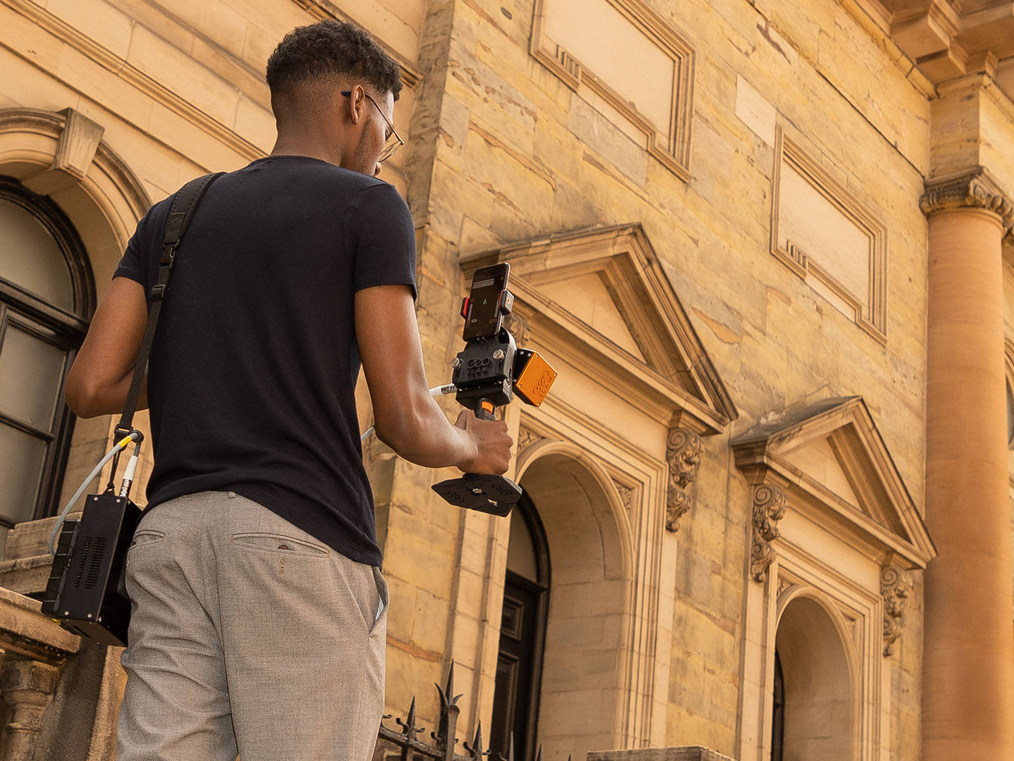
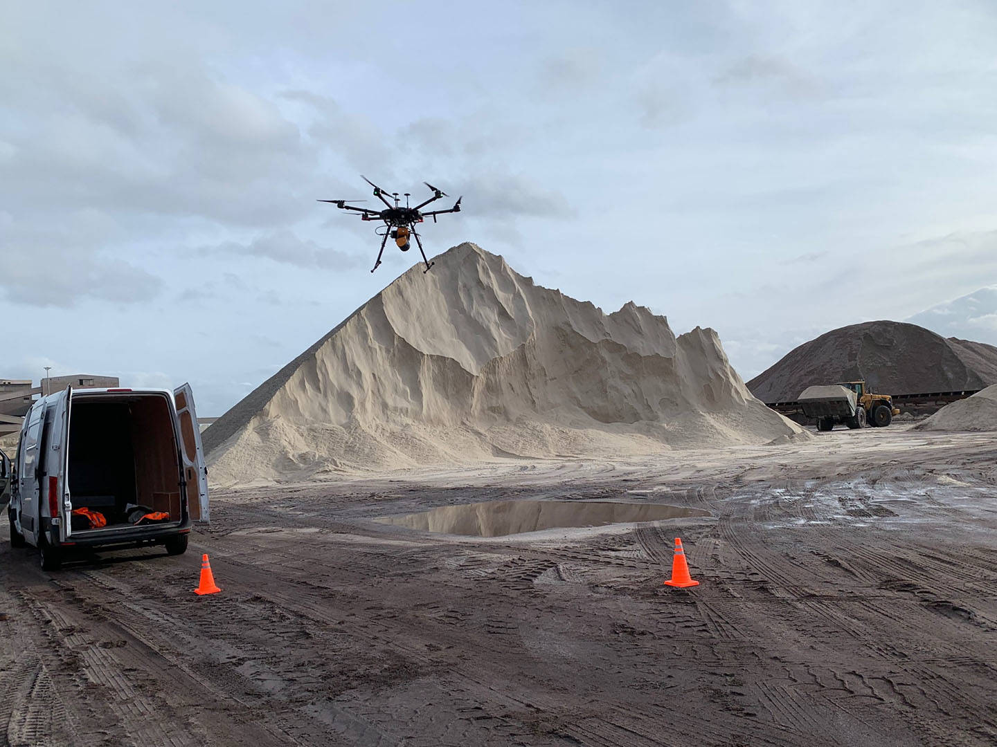
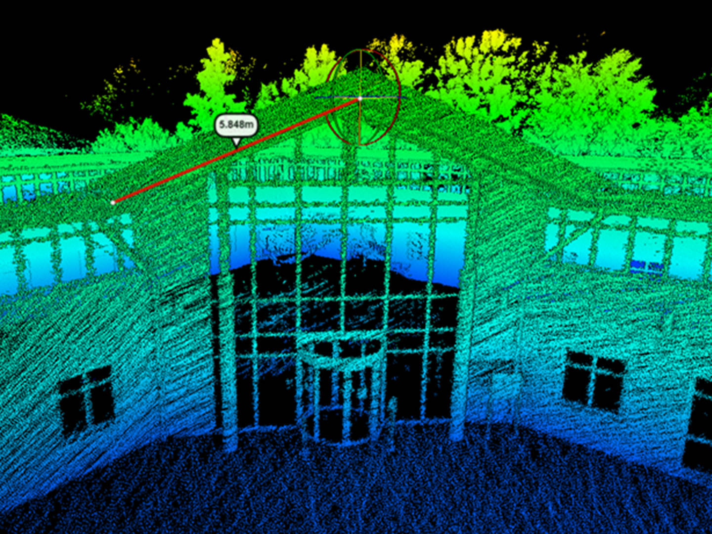
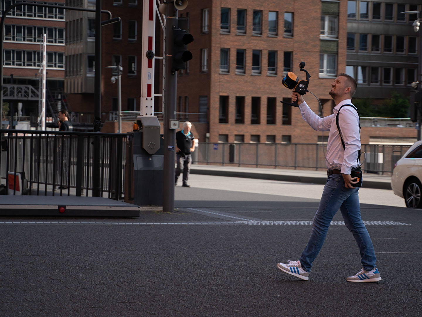
GeoSLAM Geospatial Technology combines mobile 3D mapping, SLAM positioning, and spatial data processing technologies. It is designed for rapid indoor and outdoor object digitalization when a complete spatial understanding is required without complex static setup.
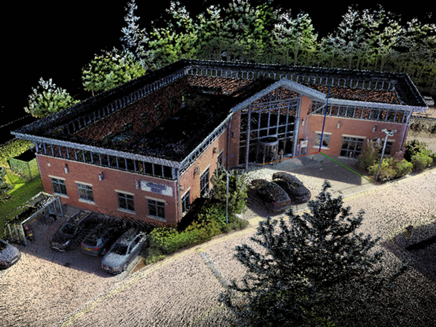
The technology allows for the acquisition of 3D point clouds, trajectories, and visual data in motion. It is suitable for documenting buildings, infrastructure, manufacturing, cultural heritage, and other large or complex objects.
FARO utilizes GeoSLAM technology in its mobile reality data acquisition solutions to accelerate surveying, improve data accessibility, and reduce the time required for digital documentation preparation.
How to order equipment or software?
To order equipment or software, as well as to receive detailed technical information about it, please call our office:
+371 27 86 0000 or send an application to e-mail: info@3dscan.lv.
We offer professional surveying works, laser scanning or geo-surveying, as well as technical inspection or other insemination of your objects.