
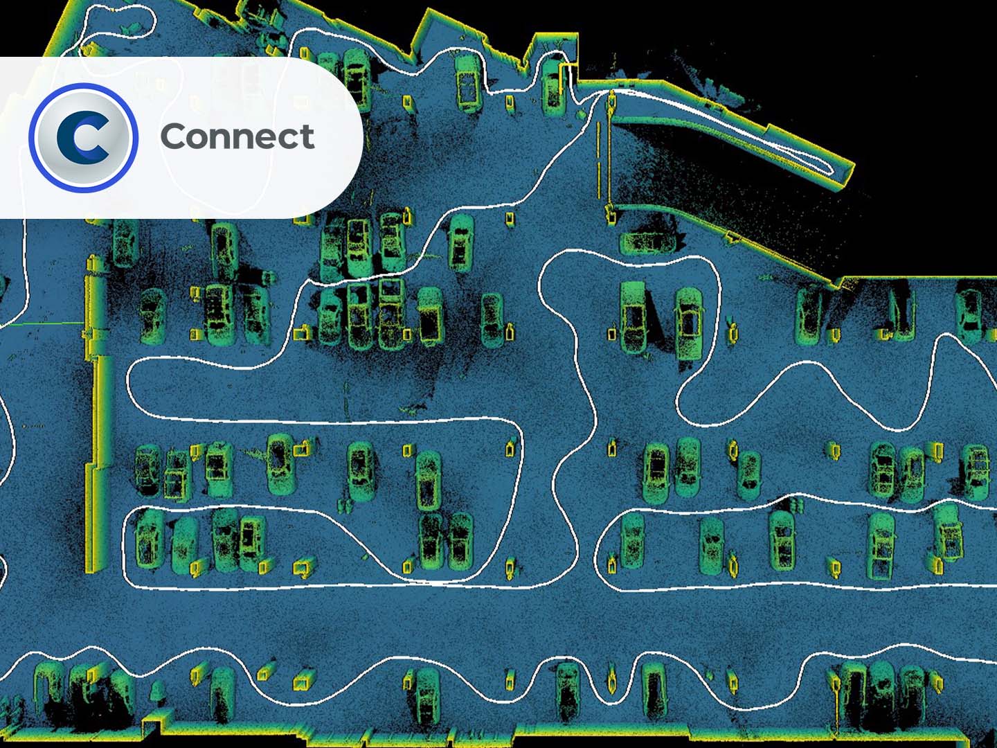
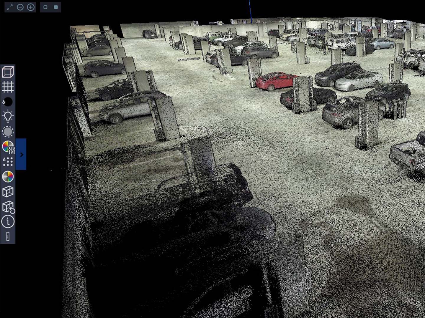
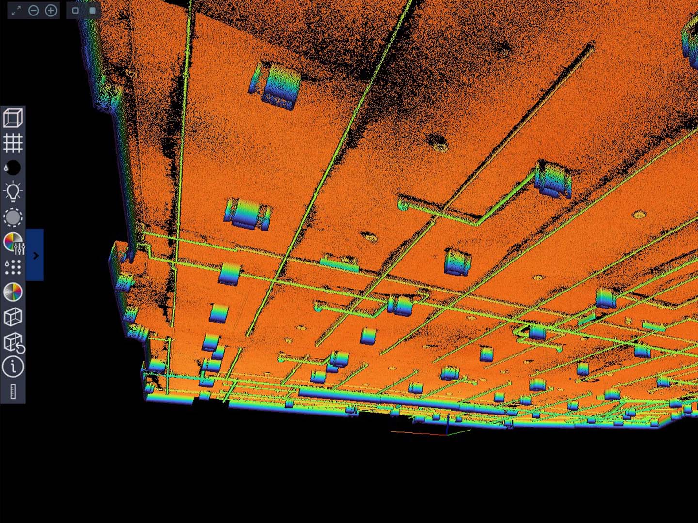
FARO Connect is a LiDAR data processing software designed for FARO Orbis mobile laser scanner data as well as workflows for previous GeoSLAM mobile solutions. It helps transform field data into organized point clouds and actionable digital deliverables.
The software supports mobile and Flash scan processing, trajectory and mapping data management, and automatic registration. Results can be prepared for further use in design, construction, facility management, and documentation.
FARO Connect is part of the FARO digital reality ecosystem and works alongside FARO Stream, SCENE, and Sphere XG to accelerate data acquisition, processing, and team collaboration.
How to order equipment or software?
To order equipment or software, as well as to receive detailed technical information about it, please call our office:
+371 27 86 0000 or send an application to e-mail: info@3dscan.lv.
We offer professional surveying works, laser scanning or geo-surveying, as well as technical inspection or other insemination of your objects.