

About GENERAL LASER
GENERAL LASER GmbH is an Austrian technology company that develops and integrates solutions for centimeter-level positioning, 3D data acquisition, mobile mapping, and autonomous robotics.
The company combines sensors, GNSS receivers, LiDAR scanners, mobile platforms, and software into a single workflow. Their expertise covers product design, prototyping, systems integration, and serial production.
GENERAL LASER Technology Areas
A single ecosystem for precise positioning, spatial data acquisition, automated inspection, and 3D information utilization.
RTK GNSS
Precise coordinate determination for surveying, GIS data collection, construction, and infrastructure documentation.
LiDAR and 3D Scanning
Acquisition of space, terrain, building, and object geometry in point cloud format for BIM, CAD, and digital twin workflows.
Mobile Robotics
Autonomous and remote-controlled platforms for inspection, security, and data acquisition in complex environments.
Systems Integration
Connecting sensors, carrier platforms, software, and data processing for specific client workflows.
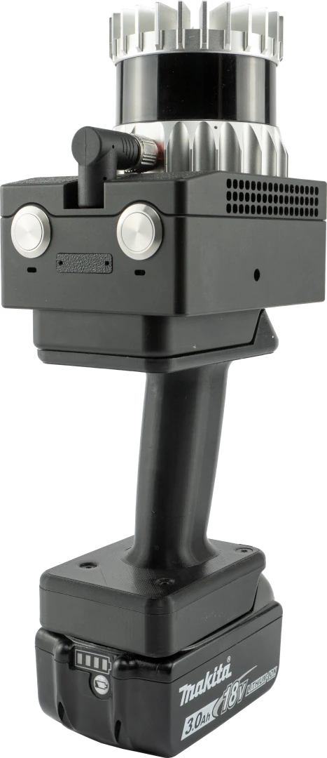
GLidar — Modular Real-Time 3D Data Acquisition
GLidar combines a high-performance LiDAR sensor with hardware and software developed by GENERAL LASER. The operator connects to the scanner’s wireless network, views a point cloud preview, and obtains georeferenced data for immediate use.
- Real-time data processing and visualization
- 1.3 / 2.6 / 5.2 million points per second
- Results for BIM and CAD workflows
- Handheld, stationary, or mobile platform-mounted mode
Solutions and Technology Platforms
These are informative focus blocks. Individual product cards and technical specifications will be added at a later stage.
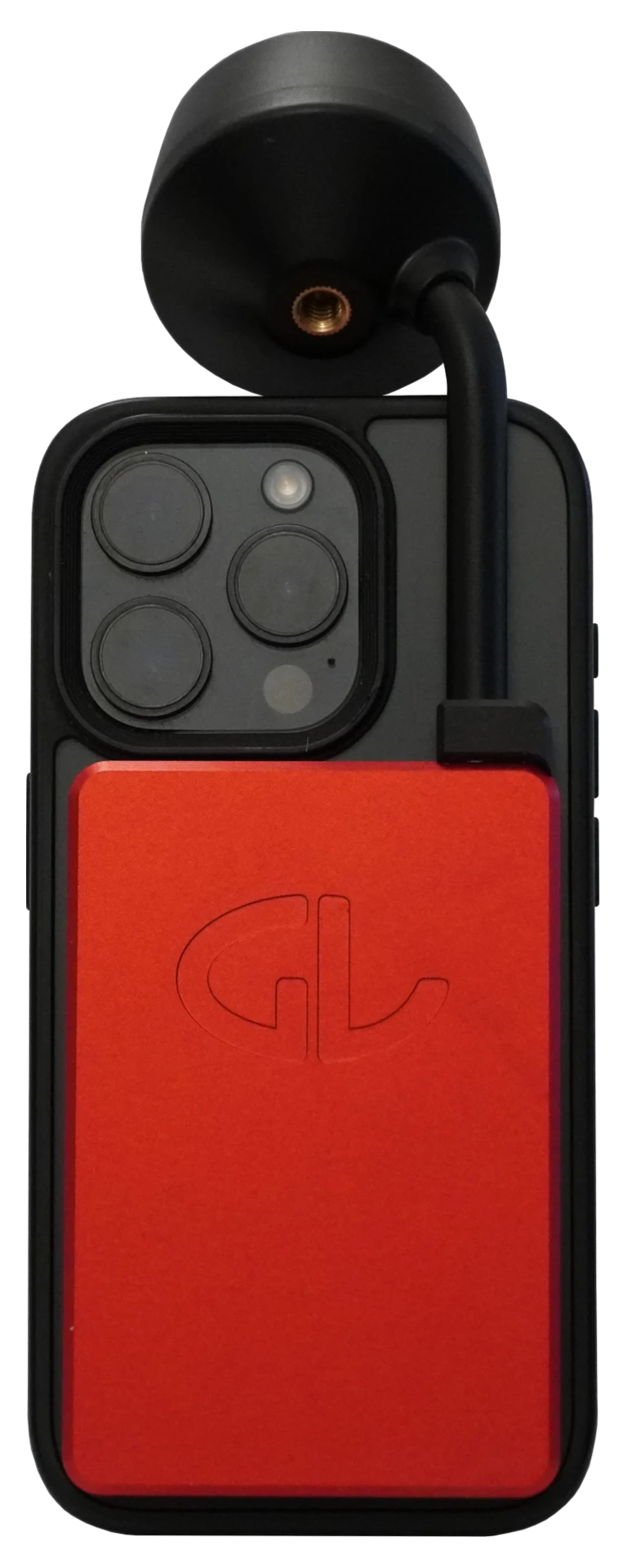
GLRM RTK GNSS Receiver
Ultra-compact triple-frequency GNSS rover with tilt compensation, magnetic mount, and centimeter-level accuracy.
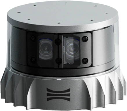
Ouster LiDAR Sensors
High-resolution multi-beam and color LiDAR sensors for automation, mobile mapping, and autonomous navigation.
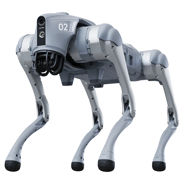
Unitree Robot Platforms
Quadruped and humanoid robots for research, inspection, training, and work in areas difficult for humans to access.
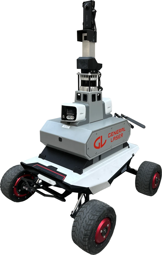
Mobile Inspection Robots
Autonomous platforms with LiDAR, cameras, and GNSS for construction site documentation, security patrols, and remote data acquisition.
AR GIS and Mobile Mapping
A combination of iPhone or iPad, RTK GNSS, and LiDAR for precise documentation of underground utilities, construction sites, and infrastructure.
Software and Data Flow
Solutions for point cloud processing, surveying, GIS, photogrammetry, and data preparation for CAD and BIM systems.
Applications
GENERAL LASER technologies help bridge precise positioning with spatial data acquisition and automated operations.
Construction Site Documentation
Progress tracking, volume calculations, point clouds, and georeferenced 3D data.
Underground Utilities
Precise location tracking and re-visualization of pipelines, cables, and engineering utilities.
Digital Twins
3D data acquisition for BIM coordination, infrastructure planning, and asset management.
Autonomous Navigation
Use of LiDAR and GNSS for obstacle detection, localization, and mobile equipment control.
Industrial Inspection
Automated data and image acquisition in hazardous, remote, or hard-to-reach locations.
Surveying and GIS
Coordinate determination, surveying, stakeout, and spatial data collection in the field.
From Idea to Finished System
01
Task Analysis
Defining accuracy, environment, data, and platform requirements.
02
Component Selection
Choosing appropriate GNSS, LiDAR, cameras, robots, and software.
03
Integration
Prototyping, connecting hardware and software, and configuring the workflow.
04
Implementation
Testing, training, commissioning, and ongoing technical support.
Which GENERAL LASER solution to choose?
An optimal system is built from a measuring device, sensors, a mobile platform, and software that matches the specific work environment and required result.
Surveying and GIS
The GLRM solution combined with field data software is suitable for precise coordinate acquisition, object surveying, and data transfer to GIS or CAD environments.
3D Data and Digital Twins
GLidar and point cloud processing software help document objects, create 3D maps, and prepare the foundation for digital twins.
Robot Navigation
LiDAR sensors, positioning components, and an integrated mobile platform provide reliable environmental perception and autonomous movement.
Autonomous Inspection
A mobile robot platform with LiDAR, cameras, and positioning is suitable for regular inspection of industrial and hard-to-reach areas.